52 Applemead Close, Derby, DE21 4QP
About 52 Applemead Close
52 Applemead Close is a semi-detached house in Derby (DE21 4QP). It has a recorded floor area of 70 m² (around 753 sq ft), construction records dating it to 1991-1995 and council tax band B. The latest certificate (September 2022) shows a C (score 71). The recommended improvements would push it to B (score 86).
Across 1999–2023, sale prices on this property compounded at 6.9% per year. Today's modelled estimate of £196,000 is 21.3% below the 2023 sale of £249,000, a rare downward gap that often correlates with deferred maintenance or unfinished works. On a £-per-square-foot basis, the last sale (£330/sq ft) was about 114.9% above the typical sold price in the postcode. Sold January 2023 for £249,000. Across the public record there are 4 sales, relatively high churn for a single property. At 70 m² it's 16.7% larger than the typical home in the postcode (60 m² median across 28 EPCs). Its energy rating outperforms most of the postcode (better than 79% of similar EPCs).
Know exactly what you're buying at 52 Applemead Close
Before you offer, see what the listing won't tell you, the true value, the red flags and the full history.
Already flagged here
Valuation
against the asking price
Risks
planning & flood
Sold prices
similar homes nearby
Trends
the local market
Energy performance
EPC Rating
Planning history
52 Applemead Close has no planning applications on record.
Notable planning nearby
3applications of note in the surrounding area
We flagged 1 thing worth checking at 52 Applemead Close
Independent checks surfaced things a buyer would want to understand before offering. The report explains each one in full, with the underlying data and what to ask.
- Larger development activity nearby
30-day money-back guarantee
Sales history & valuation
Latest sale on 52 Applemead Close was the highest on Land Registry record across the postcode.
£196,000
Modelled from EPC, postcode comparables and a sale-price growth of 6.9% per year over 23 years.
£249,000
Growth on file: 6.9% per year over 23 years.
Sales timeline
13 January 2023Most recent
£249,000
+99.2%over 15 years2 April 2007
£124,999
+92.5%over 5 years30 November 2001
£64,950
+24.9%over 2 years16 August 1999
£52,000
Median price across the last 5 sales in DE21 4QP: £158,000 (2025–2021).
Nearby sales in DE21 4QP
Everything we know about 52 Applemead Close, in one report
What it's really worth, what could be wrong, and the planning, sales and area data in full.
What we flagged
- Larger development activity nearby

Versus other Applemead Close homes
Price per m² for 52 Applemead Close runs comfortably ahead of the street norm.
Price per m²
£3,557
Street avg £1,837
Floor Area
70 m²
Street avg 68 m²
Habitable Rooms
5 rooms
Street avg 4 rooms
CO₂ Emissions
2.6 t/year
Street avg 2.8 t/year
Similar properties nearby
1 Brailsford Road, Chaddesden
DE21 4JB
1 Canterbury Street, Chaddesden
DE21 4LG
1 Consett Close
DE21 4BY
1 Ashover Road, Chaddesden
DE21 4JD
1 Attlebridge Close
DE21 4SP
1 Coneygrey Close, Breadsall
DE21 4UA
1 Applemead Close
DE21 4QP
1 Birchover Rise, Chaddesden
DE21 4QG
The neighbourhood at a glance
Crime
3/mo
Steady year-on-year across the wider district.
Nearest stop
0.2 km
Lychgate Close — bus stop.
Closest school
0.3 km
Breadsall Hill Top Primary School. 18 schools nearby.
Go deeper on the local area
The full report breaks down crime, transport links, schools and air quality in depth.
Road noise across the postcode
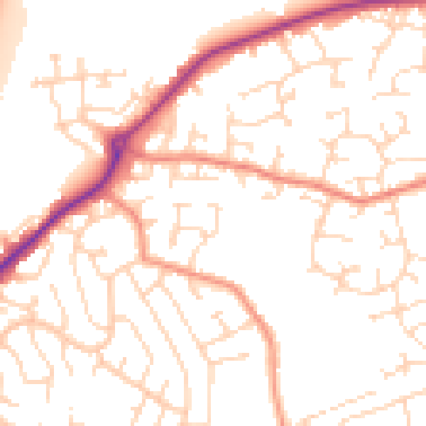
Daytime· 07:00 – 23:00
51.4dB

Night-time· 23:00 – 07:00
40.8dB