1 Chestnut Close, Moira, Swadlincote, DE12 6EP
About 1 Chestnut Close
1 Chestnut Close is a semi-detached house in Moira, Swadlincote, Swadlincote (DE12 6EP). It has a recorded floor area of 86 m² (around 926 sq ft), construction records dating it to 1967-1975 and council tax band C. The latest certificate (July 2024) shows a C (score 71). The recommended improvements would push it to B (score 85).
It changed hands recently, sold December 2024 for £250,000.
Know exactly what you're buying at 1 Chestnut Close
Before you offer, see what the listing won't tell you, the true value, the red flags and the full history.
Already flagged here
Valuation
against the asking price
Risks
planning & flood
Sold prices
similar homes nearby
Trends
the local market
Energy performance
EPC Rating
Planning history
1 Chestnut Close has no planning applications on record.
Notable planning nearby
3applications of note in the surrounding area
We flagged 1 thing worth checking at 1 Chestnut Close
Independent checks surfaced things a buyer would want to understand before offering. The report explains each one in full, with the underlying data and what to ask.
- Larger development activity nearby
30-day money-back guarantee
Sales history & valuation
£271,000
Modelled from EPC, postcode comparables.
£250,000
Recorded with HM Land Registry.
Sales timeline
16 December 2024Most recent
£250,000
Median price across the last 1 sales in DE12 6EP: £171,000 (2016–2016).
Nearby sales in DE12 6EP
Everything we know about 1 Chestnut Close, in one report
What it's really worth, what could be wrong, and the planning, sales and area data in full.
What we flagged
- Larger development activity nearby

Similar properties nearby
1 Beehive Avenue, Moira
DE12 6DG
1 Canal View Lane, Moira
DE12 6AH
1 Bramble Walk, Overseal
DE12 6NB
1 Cedar Grove, Moira
DE12 6HJ
1 Cedar Grove, Linton
DE12 6QQ
1 Coton Park, Linton
DE12 6RD
1 Alice Gardens, Overseal
DE12 6LB
1 Daisy Lane, Overseal
DE12 6JH
The neighbourhood at a glance
Daytime road noise here sits well below conversation level — a quiet pocket of the postcode.
Crime
2/mo
Steady year-on-year across the wider district.
Nearest stop
0.0 km
Chestnut Close — bus stop.
Closest school
0.6 km
Moira Primary School. 11 schools nearby.
Go deeper on the local area
The full report breaks down crime, transport links, schools and air quality in depth.
Road noise across the postcode
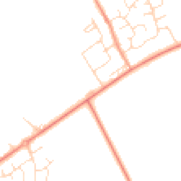
Daytime· 07:00 – 23:00
45.1dB

Night-time· 23:00 – 07:00
36.7dB