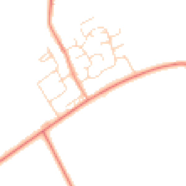
229 Ashby Road, Moira, Swadlincote, DE12 6DP
About 229 Ashby Road
229 Ashby Road is a four-bedroom property in Moira, Swadlincote, Swadlincote (DE12 6DP). It has council tax band D. Other recorded features include notable views.
Untraded for 19 years, with the last transfer in April 2007. That sale landed at the peak of the pre-credit-crunch market, which is a useful reference point when interpreting the price. Across 1995–2007, sale prices on this property compounded at 8.8% per year. One historical planning record sits against the property in 2025.
Know exactly what you're buying at 229 Ashby Road
Before you offer, see what the listing won't tell you, the true value, the red flags and the full history.
Already flagged here
Valuation
against the asking price
Risks
planning & flood
Sold prices
similar homes nearby
Trends
the local market
What this property has
Inside
- Bedrooms4
- Dining roomYes
- EnsuiteYes
Outside
- Private gardenYes
- GarageYes
- Notable viewsYes
Building
- Central heatingYes
Energy performance
No EPC on record
This property doesn't have an Energy Performance Certificate yet. An EPC is required to sell or let — and unlocks our automated valuation.
Planning history
- Feb 2025TelecomsIn report
Installation of 1no 9m light wooden pole
- Documents
- 3 docs on file
- Reference
- 25/00109/T28
We flagged 1 thing worth checking at 229 Ashby Road
Independent checks surfaced things a buyer would want to understand before offering. The report explains each one in full, with the underlying data and what to ask.
- Larger development activity nearby
30-day money-back guarantee
Sales history & valuation
Sale price has at least doubled since 1995.
£192,500
Growth on file: 8.8% per year over 12 years.
Sales timeline
26 April 2007Most recent
£192,500
+189.5%over 9 years5 October 1997
£66,500
-4.9%over 2 years27 April 1995
£69,950
Median price across the last 5 sales in DE12 6DP: £220,000 (2025–2016).
Nearby sales in DE12 6DP
197 Ashby Road, Moira, Swadlincote, DE12 6DP
Sold Jan 2025
£135,000223 Ashby Road, Moira, Swadlincote, DE12 6DP
Sold Sept 2021
£640,000209 Ashby Road, Moira, Swadlincote, DE12 6DP
Sold Jun 2018
£343,000207 Ashby Road, Moira, Swadlincote, DE12 6DP
Sold Aug 2017
£220,000203 Ashby Road, Moira, Swadlincote, DE12 6DP
Sold Nov 2016
£216,000
Everything we know about 229 Ashby Road, in one report
What it's really worth, what could be wrong, and the planning, sales and area data in full.
What we flagged
- Larger development activity nearby

Similar properties nearby
1 Alice Gardens, Overseal
DE12 6LB
1 Daisy Lane, Overseal
DE12 6JH
1 Albion Close, Moira
DE12 6EA
1 Bramley Close, Moira
DE12 6DX
1 Briton Lodge Close, Moira
DE12 6DD
1 Bramble Walk, Overseal
DE12 6NB
1 Cedar Grove, Moira
DE12 6HJ
1 Cedar Grove, Linton
DE12 6QQ
The neighbourhood at a glance
Daytime road noise here sits well below conversation level — a quiet pocket of the postcode.
Crime
2/mo
Steady year-on-year across the wider district.
Nearest stop
0.0 km
Blackfordby Lane — bus stop.
Closest school
0.4 km
Moira Primary School. 10 schools nearby.
Go deeper on the local area
The full report breaks down crime, transport links, schools and air quality in depth.
Road noise across the postcode
Daytime· 07:00 – 23:00
44.7dB

Night-time· 23:00 – 07:00
36.7dB