Are you a property professional?Get qualified leads from motivated homeowners.
Get started49 Drillfield Road, Northwich, CW9 5HU
Extendable
About 49 Drillfield Road
A plain-English summary derived from public records, EPC certificates, sold prices and local data.
49 Drillfield Road is a two-bedroom end-of-terrace house in Northwich (CW9 5HU). It has a recorded floor area of 60 m² (around 646 sq ft), construction records dating it to 1996-2002 and council tax band C. At 60 m² this is the 24th smallest of 65 units on EPC record in the building, where floor areas span 51–110 m². The building's EPC ratings span D to B, with this unit at the bottom. On EPC score it ranks last in the building (66 versus a best of 84). Our model identifies extension potential, subject to local planning policy. The latest certificate (May 2022) shows a D (score 66), on the cusp of jumping into the C band. The rating has held steady at D across 2 certificates since October 2010. Between certificates, hot-water efficiency went from Very Poor to Poor and lighting went from Average to Very Good. The recommended improvements would push it to C (score 78). Main heating runs on electricity.
On energy efficiency it sits in the bottom 10% of properties in this postcode — significant headroom for improvement. Across 2006–2022, sale prices here grew -0.4% per year, broadly in step with England's 0% HPI growth. Last sale on file: £116,000 in September 2022. That sale was during the post-pandemic price surge, when transactions cleared materially above pre-2020 trend.
What this property has
Pulled from EPC certificates, claim submissions and our property model. Empty categories are hidden — we only show what's known.
Inside
- Bedrooms2
- Bathrooms2
- EnsuiteYes
Outside
- Parking
Energy performance
Every EPC certificate filed against this property — current rating, recorded improvements, and where there's headroom to reach a higher band.
49 Drillfield Road sits at the bottom of the postcode for energy efficiency — meaningful headroom to improve.
Current Certificate(1 of 2)
May 2022
EPC Rating
A
B
C
D
D66
E
F
G
Main Heating
Electric
Main Fuel
Electric
Hot Water
Poor
Windows
Good
CO2 Emissions
2.8 t/year
Occupancy
Rented
Sales history & valuation
Recorded transactions, our model's current estimate, and a quick read on what neighbouring properties have sold for.
49 Drillfield Road's sale-price growth has lagged the wider UK trajectory across its history on file.
Current estimate
See how we calculated this£127,000
Modelled from EPC, postcode comparables and a sale-price growth of -0.4% per year over 17 years.
Last sold (2022)
£116,000
Growth on file: -0.4% per year over 17 years.
Sales timeline
Versus other Drillfield Road homes
Four headline reads against 48 similar flats on this street, drawn from the latest EPC and Land Registry data.
EPC Rating for 49 Drillfield Road lags the street by a wide margin.
Price per m²
£1,933
Street avg £3,386
Floor Area
60 m²
Street avg 59 m²
Habitable Rooms
3 rooms
Street avg 3 rooms
Similar properties nearby
A handful of close matches in the same postcode area, ranked by likeness on bedrooms, type and floor area.
The neighbourhood at a glance
A condensed read of the local area. Each tile links through to the full breakdown on the Northwich district page.
Rail-style transport is unusually close for this postcode.
Crime
2/mo
Steady year-on-year across the wider district.
Nearest stop
0.3 km
Waitrose — bus stop.
Road noise across the postcode
Modelled day and night-time noise levels around CW9 5HU from Defra's strategic mapping. The pin marks this postcode's centroid.
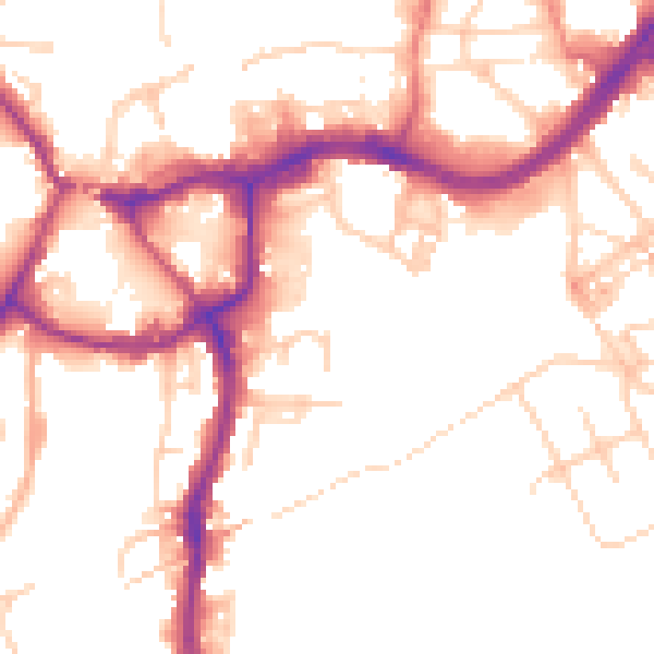
Daytime· 07:00 – 23:00
51.7dB

Everything within walking distance
Schools, transport stops and scenic spots near this property — 45 points of interest in total.
Beautiful places to visit nearby
Curated scenic spots within reach of this postcode, served by Beautifulplaces.ai. Photography and tagging come from their open dataset.
Common questions
The questions buyers, sellers and homeowners most often ask about 49 Drillfield Road, Northwich, CW9 5HU. Each answer is also embedded as structured data for search engines.