7 Swan Bank, Congleton, CW12 1AN
About 7 Swan Bank
7 Swan Bank is a property in Congleton (CW12 1AN). It has council tax band A.
One historical planning record sits against the property in 2020. The record references listed-building consent, which constrain future alterations. Last sale on file: £210,000 in March 2020.
Know exactly what you're buying at 7 Swan Bank
Before you offer, see what the listing won't tell you, the true value, the red flags and the full history.
Already flagged here
Valuation
against the asking price
Risks
planning & flood
Sold prices
similar homes nearby
Trends
the local market
Energy performance
No EPC on record
This property doesn't have an Energy Performance Certificate yet. An EPC is required to sell or let — and unlocks our automated valuation.
Planning history
7 Swan Bank has a listed-building consent on record — alterations to a listed property are tightly controlled.
- Nov 2020HeritageIn report
Listed Building Consent for Change of Use of residential flat ( current use) C3 for Hotel /Guest house/temporary holiday let C1
Listed- Documents
- 14 docs on file
- Reference
- 20/4157C
We flagged 1 thing worth checking at 7 Swan Bank
Independent checks surfaced things a buyer would want to understand before offering. The report explains each one in full, with the underlying data and what to ask.
- Larger development activity nearby
30-day money-back guarantee
Sales history & valuation
The latest sale landed in the post-pandemic price surge — useful context when reading the figure.
£210,000
Recorded with HM Land Registry.
Sales timeline
24 March 2020Most recent
£210,000
Median price across the last 1 sales in CW12 1AN: £127,000 (2005–2005).
Nearby sales in CW12 1AN
Everything we know about 7 Swan Bank, in one report
What it's really worth, what could be wrong, and the planning, sales and area data in full.
What we flagged
- Larger development activity nearby

Similar properties nearby
The neighbourhood at a glance
Crime
3/mo
Falling year-on-year across the wider district.
Nearest stop
0.1 km
West Street — bus stop.
Closest school
0.4 km
Marlfields Primary School. 11 schools nearby.
Go deeper on the local area
The full report breaks down crime, transport links, schools and air quality in depth.
Road noise across the postcode
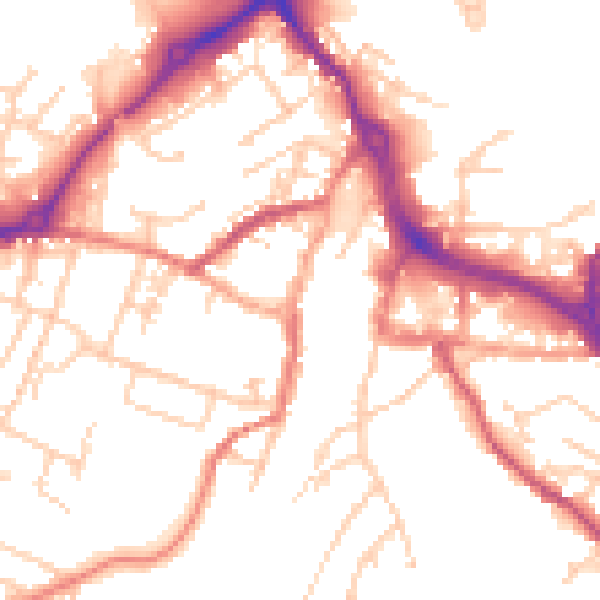
Daytime· 07:00 – 23:00
52.1dB

Night-time· 23:00 – 07:00
42.5dB