22 Arderne De Gray Road, Wolston, Coventry, CV8 3LQ
About 22 Arderne De Gray Road
22 Arderne De Gray Road is a property in Wolston, Coventry, Coventry (CV8 3LQ). It has a recorded floor area of 122 m² (around 1313 sq ft). The latest certificate (October 2015) returns a B (score 84), comfortably above the UK average. The recommended improvements would push it to A (score 93). The latest certificate is from October 2015, so improvements made since then won't be reflected.
At 122 m² it's 24.5% larger than the typical home in the postcode (98 m² median across 39 EPCs). Across 2015–2021, sale prices on this property compounded at 4% per year. Today's modelled estimate of £442,000 is 10.5% above the 2021 sale price. On a £-per-square-foot basis, the last sale (£305/sq ft) was about 23.3% above the typical sold price in the postcode. Sold June 2021 for £400,000. That sale was during the post-pandemic price surge, when transactions cleared materially above pre-2020 trend.
Know exactly what you're buying at 22 Arderne De Gray Road
Before you offer, see what the listing won't tell you, the true value, the red flags and the full history.
Already flagged here
Valuation
against the asking price
Risks
planning & flood
Sold prices
similar homes nearby
Trends
the local market
Energy performance
EPC Expired
This certificate is over 10 years old and is no longer valid.Expired 06 Oct 2025
EPC Rating
Planning history
22 Arderne De Gray Road has no planning applications on record.
Notable planning nearby
6applications of note in the surrounding area
We flagged 1 thing worth checking at 22 Arderne De Gray Road
Independent checks surfaced things a buyer would want to understand before offering. The report explains each one in full, with the underlying data and what to ask.
- Larger development activity nearby
30-day money-back guarantee
Sales history & valuation
The latest sale landed in the post-pandemic price surge — useful context when reading the figure.
£442,000
Modelled from EPC, postcode comparables and a sale-price growth of 4.0% per year over 6 years.
£400,000
Growth on file: 4.0% per year over 6 years.
Sales timeline
9 June 2021Most recent
£400,000
+25.0%over 5 years15 October 2015
£320,000
Median price across the last 5 sales in CV8 3LQ: £380,000 (2025–2023).
Nearby sales in CV8 3LQ
17 Arderne De Gray Road, Wolston, Coventry, CV8 3LQ
Sold Jul 2025
£380,00012 Arderne De Gray Road, Wolston, Coventry, CV8 3LQ
Sold Feb 2024
£565,00013 Arderne De Gray Road, Wolston, Coventry, CV8 3LQ
Sold Aug 2023
£363,27520 Arderne De Gray Road, Wolston, Coventry, CV8 3LQ
Sold May 2023
£590,00015 Arderne De Gray Road, Wolston, Coventry, CV8 3LQ
Sold Jan 2023
£340,000
Everything we know about 22 Arderne De Gray Road, in one report
What it's really worth, what could be wrong, and the planning, sales and area data in full.
What we flagged
- Larger development activity nearby

Versus other Arderne De Gray Road homes
22 Arderne De Gray Road outperforms the street on price per m² by a wide margin.
Price per m²
£3,279
Street avg £2,752
Floor Area
122 m²
Street avg 106 m²
CO₂ Emissions
1.9 t/year
Street avg 1.7 t/year
Years Held
5 years
Street avg 9 years
Similar properties nearby
1 Bailey Close, Wolston
CV8 3LS
1 Bagshaw Close, Ryton On Dunsmore
CV8 3EX
1 Carthusian Close, Wolston
CV8 3NE
1 Bridge View, Mill Hill, Baginton
CV8 3AW
1 Chantry Heath Cottages, Chantry Heath Lane, Stoneleigh
CV8 3DS
1 Cheryton Close, Wolston
CV8 3NL
1 Church Road, Bubbenhall
CV8 3BE
1 Arderne De Gray Road, Wolston
CV8 3LQ
The neighbourhood at a glance
Daytime road noise here sits well below conversation level — a quiet pocket of the postcode.
Crime
3/mo
Steady year-on-year across the wider district.
Nearest stop
0.2 km
Priory Road — bus stop.
Closest school
0.7 km
Wolston St Margaret's CofE Primary School. 3 schools nearby.
Go deeper on the local area
The full report breaks down crime, transport links, schools and air quality in depth.
Road noise across the postcode
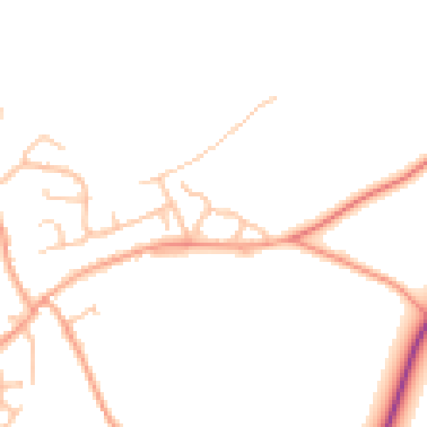
Daytime· 07:00 – 23:00
45.9dB

Night-time· 23:00 – 07:00
37.3dB