3 Ashfield Avenue, Coventry, CV4 9SQ
About 3 Ashfield Avenue
3 Ashfield Avenue is a property in Coventry (CV4 9SQ). It has council tax band E.
Untraded for 27 years, with the last transfer in August 1999. Only one transfer is on record with HM Land Registry, suggesting it has stayed in the same hands for a long time. 2 planning records sit against the property, 0 approved, 0 refused.
Know exactly what you're buying at 3 Ashfield Avenue
Before you offer, see what the listing won't tell you, the true value, the red flags and the full history.
Already flagged here
Valuation
against the asking price
Risks
planning & flood
Sold prices
similar homes nearby
Trends
the local market
Energy performance
No EPC on record
This property doesn't have an Energy Performance Certificate yet. An EPC is required to sell or let — and unlocks our automated valuation.
Planning history
Planning history at 3 Ashfield Avenue is exclusively tree-management applications — typical for a property with mature trees on or near the plot.
- Aug 2016Tree WorksTreesIn report
G1 (3x Ash, 2x Sycamore) - Reduce height by approx 2-2.5m, crown thin by 10%, and lift to approx 7m (20ft) on house side.
- Documents
- 7 docs on file
- Reference
- TP/2016/1726
- Jun 2000Tree WorksTreesIn report
Reduction of overhanging branches of ashtree (T3 forming part of TPO 187 Banner Lane No. 1)
- Documents
- 1 doc on file
- Reference
- R/2000/0543
We flagged 1 thing worth checking at 3 Ashfield Avenue
Independent checks surfaced things a buyer would want to understand before offering. The report explains each one in full, with the underlying data and what to ask.
- Larger development activity nearby
30-day money-back guarantee
Sales history & valuation
3 Ashfield Avenue has been held in the same hands since before 2000.
£149,750
Recorded with HM Land Registry.
Sales timeline
15 August 1999Most recent
£149,750
Median price across the last 5 sales in CV4 9SQ: £403,000 (2024–2021).
Nearby sales in CV4 9SQ
Everything we know about 3 Ashfield Avenue, in one report
What it's really worth, what could be wrong, and the planning, sales and area data in full.
What we flagged
- Larger development activity nearby

Similar properties nearby
The neighbourhood at a glance
Rail-style transport is unusually close for this postcode.
Crime
7/mo
Steady year-on-year across the wider district.
Nearest stop
0.8 km
Tile Hill Rail Station — railway station.
Closest school
0.3 km
West Coventry Academy. 18 schools nearby.
Go deeper on the local area
The full report breaks down crime, transport links, schools and air quality in depth.
Road noise across the postcode
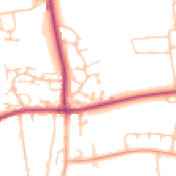
Daytime· 07:00 – 23:00
49.9dB

Night-time· 23:00 – 07:00
40.6dB