19 Ashfield Avenue, Coventry, CV4 9SQ
About 19 Ashfield Avenue
19 Ashfield Avenue is a three-bedroom property in Coventry (CV4 9SQ). It has council tax band E. Our model identifies extension potential, subject to local planning policy. The home occupies a cul-de-sac position.
It hasn't traded since June 2004, a hold of 22 years that's notably long for the area. Across 1996–2004, sale prices on this property compounded at 10.8% per year.
Know exactly what you're buying at 19 Ashfield Avenue
Before you offer, see what the listing won't tell you, the true value, the red flags and the full history.
Already flagged here
Valuation
against the asking price
Risks
planning & flood
Sold prices
similar homes nearby
Trends
the local market
What this property has
Inside
- Bedrooms3
- Dining roomYes
- CloakroomYes
- EnsuiteYes
Outside
- Private gardenRear
- GarageYes
- Cul-de-sacYes
Building
- Central heatingYes
- RefurbishedYes
- Extension potentialPossible
Energy performance
No EPC on record
This property doesn't have an Energy Performance Certificate yet. An EPC is required to sell or let — and unlocks our automated valuation.
Planning history
19 Ashfield Avenue has no planning applications on record.
Notable planning nearby
6applications of note in the surrounding area
We flagged 1 thing worth checking at 19 Ashfield Avenue
Independent checks surfaced things a buyer would want to understand before offering. The report explains each one in full, with the underlying data and what to ask.
- Larger development activity nearby
30-day money-back guarantee
Sales history & valuation
Sale price has at least doubled since 1996.
£211,000
Growth on file: 10.8% per year over 8 years.
Sales timeline
29 June 2004Most recent
£211,000
+133.1%over 8 years29 March 1996
£90,500
Median price across the last 5 sales in CV4 9SQ: £403,000 (2024–2021).
Nearby sales in CV4 9SQ
Everything we know about 19 Ashfield Avenue, in one report
What it's really worth, what could be wrong, and the planning, sales and area data in full.
What we flagged
- Larger development activity nearby

Similar properties nearby
The neighbourhood at a glance
Rail-style transport is unusually close for this postcode.
Crime
7/mo
Steady year-on-year across the wider district.
Nearest stop
0.8 km
Tile Hill Rail Station — railway station.
Closest school
0.3 km
West Coventry Academy. 18 schools nearby.
Go deeper on the local area
The full report breaks down crime, transport links, schools and air quality in depth.
Road noise across the postcode
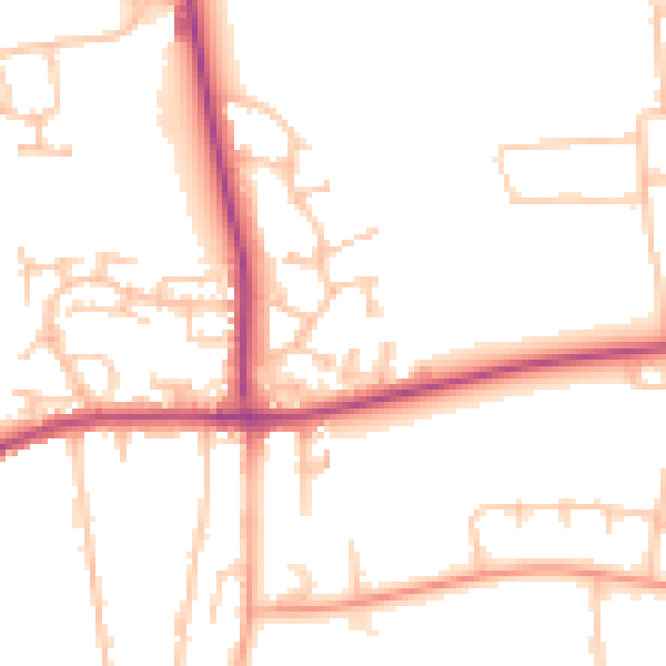
Daytime· 07:00 – 23:00
49.9dB

Night-time· 23:00 – 07:00
40.6dB