8 Carter Meadow, Warwick, CV34 8AQ
About 8 Carter Meadow
8 Carter Meadow is a five-bedroom detached house in Warwick (CV34 8AQ). It has a recorded floor area of 154 m² (around 1658 sq ft) and construction records dating it to 2018. The latest certificate (November 2022) returns a high B (score 85), putting the home a stone's throw from an A rating. The recommended improvements would push it to A (score 93).
At 154 m² it's 29.4% larger than the typical home in the postcode (119 m² median across 8 EPCs). Across 2022–2024, sale prices on this property compounded at 1.5% per year. Sold June 2024 for £652,000.
Know exactly what you're buying at 8 Carter Meadow
Before you offer, see what the listing won't tell you, the true value, the red flags and the full history.
Valuation
against the asking price
Risks
planning & flood
Sold prices
similar homes nearby
Trends
the local market
What this property has
Inside
- Bedrooms5
- Bathrooms3
- Open-plan layoutYes
- EnsuiteYes
Outside
- GarageDouble
Building
- RefurbishedYes
Energy performance
EPC Rating
Planning history
8 Carter Meadow has no planning applications on record.
The full report still covers planning activity across the surrounding area.
Sales history & valuation
£709,000
Modelled from EPC, postcode comparables and a sale-price growth of 1.5% per year over 2 years.
£652,000
Growth on file: 1.5% per year over 2 years.
Sales timeline
25 June 2024Most recent
£652,000
+2.4%over 1 year1 December 2022
£636,950
Median price across the last 4 sales in CV34 8AQ: £589,950 (2023–2022).
Everything we know about 8 Carter Meadow, in one report
What it's really worth, what could be wrong, and the planning, sales and area data in full.
- Am I paying too much?
- Is something wrong with it?
- Is the agent's story true?
- Will it hold its value?

Versus other Carter Meadow homes
On years held, 8 Carter Meadow runs well behind the street norm.
Price per m²
£4,234
Street avg £4,217
Floor Area
154 m²
Street avg 119 m²
CO₂ Emissions
2.2 t/year
Street avg 1.8 t/year
Years Held
2 years
Street avg 4 years
Similar properties nearby
The neighbourhood at a glance
Reported crime in the wider district is trending notably upward year-on-year.
Crime
5/mo
Rising year-on-year across the wider district.
Nearest stop
0.2 km
Leamington Shopping Park — bus stop.
Closest school
0.8 km
Kingsway Community Primary School. 27 schools nearby.
Go deeper on the local area
The full report breaks down crime, transport links, schools and air quality in depth.
Road noise across the postcode
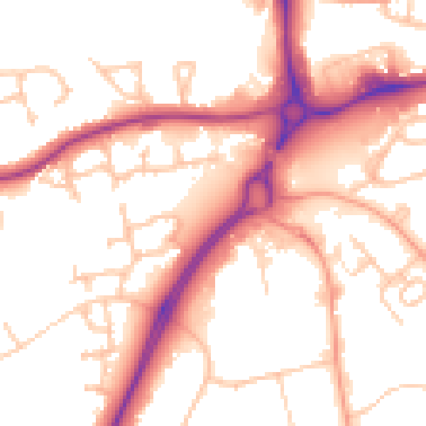
Daytime· 07:00 – 23:00
53.9dB

Night-time· 23:00 – 07:00
44.3dB