9 Honeysuckle Lane, Warwick, CV34 8AE
About 9 Honeysuckle Lane
9 Honeysuckle Lane is a two-bedroom semi-detached house in Warwick (CV34 8AE). It has a recorded floor area of 68 m² (around 732 sq ft) and construction records dating it to 2022. The latest certificate (August 2022) returns a B (score 83), comfortably above the UK average. The recommended improvements would push it to A (score 97).
Last sale on file: £290,000 in August 2022. That sale was during the post-pandemic price surge, when transactions cleared materially above pre-2020 trend.
Know exactly what you're buying at 9 Honeysuckle Lane
Before you offer, see what the listing won't tell you, the true value, the red flags and the full history.
Valuation
against the asking price
Risks
planning & flood
Sold prices
similar homes nearby
Trends
the local market
What this property has
Inside
- Bedrooms2
- Bathrooms1
Outside
- Private gardenYes
Energy performance
9 Honeysuckle Lane's carbon output is low for the local stock.
EPC Rating
Planning history
9 Honeysuckle Lane has no planning applications on record.
The full report still covers planning activity across the surrounding area.
Sales history & valuation
The latest sale landed in the post-pandemic price surge — useful context when reading the figure.
£310,000
Modelled from EPC, postcode comparables.
£290,000
Recorded with HM Land Registry.
Sales timeline
29 August 2022Most recent
£290,000
Median price across the last 5 sales in CV34 8AE: £290,000 (2025–2022).
Nearby sales in CV34 8AE
Everything we know about 9 Honeysuckle Lane, in one report
What it's really worth, what could be wrong, and the planning, sales and area data in full.
- Am I paying too much?
- Is something wrong with it?
- Is the agent's story true?
- Will it hold its value?

Versus other Honeysuckle Lane homes
On price per m², 9 Honeysuckle Lane stands well clear of the street.
Price per m²
£4,265
Street avg £4,063
Floor Area
68 m²
Street avg 83 m²
CO₂ Emissions
1.1 t/year
Street avg 1.3 t/year
Years Held
4 years
Street avg 5 years
Similar properties nearby
The neighbourhood at a glance
Reported crime in the wider district is trending notably upward year-on-year.
Crime
5/mo
Rising year-on-year across the wider district.
Nearest stop
0.2 km
Pinewood Avenue — bus stop.
Closest school
0.6 km
Myton Gardens. 27 schools nearby.
Go deeper on the local area
The full report breaks down crime, transport links, schools and air quality in depth.
Road noise across the postcode
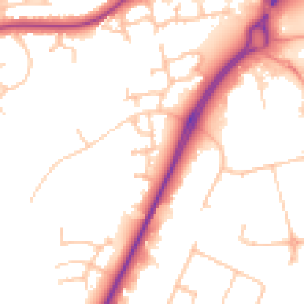
Daytime· 07:00 – 23:00
51.7dB

Night-time· 23:00 – 07:00
42.4dB