1 Hopkins Road, Warwick, CV34 7AW
About 1 Hopkins Road
1 Hopkins Road is a two-bedroom end-of-terrace house in Warwick (CV34 7AW). It has a recorded floor area of 47 m² (around 506 sq ft). The latest certificate (September 2018) returns a B (score 81), comfortably above the UK average. The recommended improvements would push it to A (score 97).
Across 2018–2023, sale prices on this property compounded at 1.4% per year. 2 bedrooms is on the smaller side for this postcode, where 4 is the typical count. Sold September 2023 for £285,000.
Know exactly what you're buying at 1 Hopkins Road
Before you offer, see what the listing won't tell you, the true value, the red flags and the full history.
Valuation
against the asking price
Risks
planning & flood
Sold prices
similar homes nearby
Trends
the local market
What this property has
Inside
- Bedrooms2
- Bathrooms1
- Dining roomYes
- CloakroomYes
Outside
- Private gardenSouth-facing
- ParkingYes
Energy performance
1 Hopkins Road's carbon output is low for the local stock.
EPC Rating
Planning history
1 Hopkins Road has no planning applications on record.
The full report still covers planning activity across the surrounding area.
Sales history & valuation
£287,000
Modelled from EPC, postcode comparables and a sale-price growth of 1.4% per year over 5 years.
£285,000
Growth on file: 1.4% per year over 5 years.
Sales timeline
7 September 2023Most recent
£285,000
+7.1%over 4 years25 October 2018
£265,995
Median price across the last 5 sales in CV34 7AW: £300,000 (2025–2024).
Everything we know about 1 Hopkins Road, in one report
What it's really worth, what could be wrong, and the planning, sales and area data in full.
- Am I paying too much?
- Is something wrong with it?
- Is the agent's story true?
- Will it hold its value?

Versus other Hopkins Road homes
1 Hopkins Road outperforms the street on co₂ emissions by a wide margin.
Price per m²
£6,064
Street avg £5,380
Floor Area
47 m²
Street avg 62 m²
CO₂ Emissions
0.9 t/year
Street avg 1.1 t/year
Years Held
3 years
Street avg 5 years
Similar properties nearby
The neighbourhood at a glance
Reported crime in the wider district is trending notably upward year-on-year.
Crime
5/mo
Rising year-on-year across the wider district.
Nearest stop
0.1 km
Randall Close — bus stop.
Closest school
0.5 km
Heathcote Primary School. 24 schools nearby.
Go deeper on the local area
The full report breaks down crime, transport links, schools and air quality in depth.
Road noise across the postcode
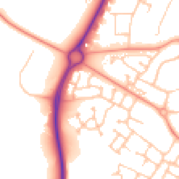
Daytime· 07:00 – 23:00
53.5dB

Night-time· 23:00 – 07:00
43.5dB