11 Radnor Walk, Walsgrave On Sowe, Coventry, CV2 2LS
About 11 Radnor Walk
11 Radnor Walk is a property in Walsgrave On Sowe, Coventry, Coventry (CV2 2LS). It has council tax band B.
It hasn't traded since March 2005, a hold of 21 years that's notably long for the area. Across the public record there are 4 sales, relatively high churn for a single property. Across 1998–2005, sale prices on this property compounded at 24.4% per year.
Everything you need to know about 11 Radnor Walk
The true value, the hidden risks and the full sale history, in one report.
30-day money-back guarantee

The data behind every report


Energy performance
No EPC on record
This property doesn't have an Energy Performance Certificate yet. An EPC is required to sell or let — and unlocks our automated valuation.
Planning history
11 Radnor Walk has no planning applications on record.
Notable planning nearby
7applications of note in the surrounding area
We flagged 1 thing worth checking at 11 Radnor Walk
Independent checks surfaced things a buyer would want to understand before offering. The report explains each one in full, with the underlying data and what to ask.
- Larger development activity nearby
30-day money-back guarantee
Sales history & valuation
11 Radnor Walk has more than quadrupled in price since its earliest registered sale in 1998.
£110,000
Growth on file: 24.4% per year over 7 years.
Sales timeline
24 March 2005Most recent
£110,000
+52.8%over 3 years28 February 2002
£72,000
+35.8%over 3 years27 November 1998
£53,000
+128.0%over 9 months13 February 1998
£23,250
Median price across the last 5 sales in CV2 2LS: £54,500 (2017–1999).
Nearby sales in CV2 2LS
5 Radnor Walk, Walsgrave On Sowe, Coventry, CV2 2LS
Sold Oct 2017
£190,0009 Radnor Walk, Walsgrave On Sowe, Coventry, CV2 2LS
Sold Aug 2006
£118,5002 Radnor Walk, Walsgrave On Sowe, Coventry, CV2 2LS
Sold Oct 2001
£32,5004 Radnor Walk, Walsgrave On Sowe, Coventry, CV2 2LS
Sold Jul 1999
£26,5008 Radnor Walk, Walsgrave On Sowe, Coventry, CV2 2LS
Sold Jun 1999
£54,500
Everything you need to know about 11 Radnor Walk
The true value, the hidden risks and the full sale history, in one report.
30-day money-back guarantee
The data behind every report
Similar properties nearby
The neighbourhood at a glance
Reported crime in the wider district is trending notably upward year-on-year.
Crime
6/mo
Rising year-on-year across the wider district.
Nearest stop
2.4 km
Ansty Park Stop E — bus stop.
Closest school
0.2 km
Whittle Academy. 29 schools nearby.
Go deeper on the local area
The full report breaks down crime, transport links, schools and air quality in depth.
Road noise across the postcode
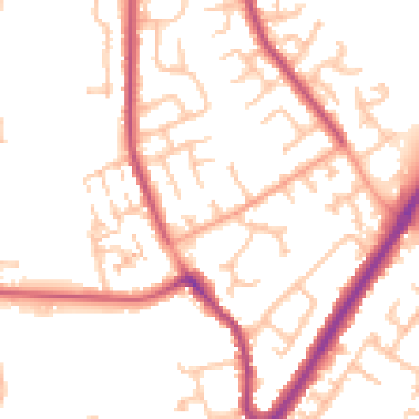
Daytime· 07:00 – 23:00
51.9dB

Night-time· 23:00 – 07:00
43.6dB