3 Dahlia Walk, Nuneaton, CV10 7SQ
About 3 Dahlia Walk
3 Dahlia Walk is a detached house in Nuneaton (CV10 7SQ). It has a recorded floor area of 98 m² (around 1059 sq ft), construction records dating it to 2003-2006 and council tax band D. The latest certificate (February 2010) shows a C (score 75), near the top of the C band. The latest certificate is from February 2010, so improvements made since then won't be reflected.
Untraded for 15 years, with the last transfer in April 2011. Across 2005–2011, sale prices on this property compounded at 1.3% per year. Today's modelled estimate of £308,000 is 46.7% above the 2011 sale price.
Know exactly what you're buying at 3 Dahlia Walk
Before you offer, see what the listing won't tell you, the true value, the red flags and the full history.
Valuation
against the asking price
Risks
planning & flood
Sold prices
similar homes nearby
Trends
the local market
Energy performance
3 Dahlia Walk's EPC is over a decade old — improvements since won't be reflected.
EPC Expired
This certificate is over 10 years old and is no longer valid.Expired 15 Feb 2020
EPC Rating
Planning history
3 Dahlia Walk has no planning applications on record.
The full report still covers planning activity across the surrounding area.
Sales history & valuation
3 Dahlia Walk valuation sits well clear of the typical sold price in this postcode.
£308,000
Modelled from EPC, postcode comparables and a sale-price growth of 1.3% per year over 6 years.
£209,950
Growth on file: 1.3% per year over 6 years.
Sales timeline
14 April 2011Most recent
£209,950
+7.7%over 5 years7 July 2005
£195,000
Median price across the last 5 sales in CV10 7SQ: £265,000 (2024–2015).
Everything we know about 3 Dahlia Walk, in one report
What it's really worth, what could be wrong, and the planning, sales and area data in full.
- Am I paying too much?
- Is something wrong with it?
- Is the agent's story true?
- Will it hold its value?

Versus other Dahlia Walk homes
3 Dahlia Walk outperforms the street on years held by a wide margin.
Price per m²
£2,135
Street avg £2,163
Floor Area
98 m²
Street avg 116 m²
Habitable Rooms
6 rooms
Street avg 6 rooms
CO₂ Emissions
2.9 t/year
Street avg 3.5 t/year
Similar properties nearby
The neighbourhood at a glance
Rail-style transport is unusually close for this postcode.
Crime
5/mo
Rising year-on-year across the wider district.
Nearest stop
0.3 km
Rider Close — bus stop.
Closest school
0.9 km
Glendale Infant School. 20 schools nearby.
Go deeper on the local area
The full report breaks down crime, transport links, schools and air quality in depth.
Road noise across the postcode
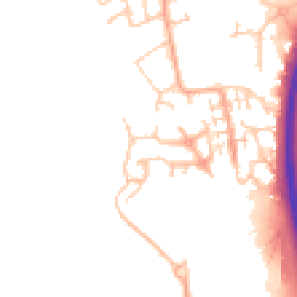
Daytime· 07:00 – 23:00
47.6dB

Night-time· 23:00 – 07:00
39.1dB