290 Tuttle Hill, Nuneaton, CV10 0HS
About 290 Tuttle Hill
290 Tuttle Hill is a semi-detached house in Nuneaton (CV10 0HS). It has a recorded floor area of 70 m² (around 753 sq ft). The latest certificate (January 2016) returns a B (score 84), comfortably above the UK average. The recommended improvements would push it to A (score 97). The latest certificate is from January 2016, so improvements made since then won't be reflected.
Its energy rating outperforms most of the postcode (better than 83% of similar EPCs). Today's modelled estimate of £174,000 is 45% above the 2016 sale price. On a £-per-square-foot basis, the last sale (£159/sq ft) was about 31% above the typical sold price in the postcode. On the market in February 2016 and unlisted since — roughly 10 years.
Know exactly what you're buying at 290 Tuttle Hill
Before you offer, see what the listing won't tell you, the true value, the red flags and the full history.
Valuation
against the asking price
Risks
planning & flood
Sold prices
similar homes nearby
Trends
the local market
Energy performance
290 Tuttle Hill's carbon output is low for the local stock.
EPC Expired
This certificate is over 10 years old and is no longer valid.Expired 28 Jan 2026
EPC Rating
Planning history
290 Tuttle Hill has no planning applications on record.
Notable planning nearby
1applications of note in the surrounding area
Sales history & valuation
290 Tuttle Hill valuation sits well clear of the typical sold price in this postcode.
£174,000
Modelled from EPC, postcode comparables.
£120,000
Recorded with HM Land Registry.
Sales timeline
12 February 2016Most recent
£120,000
Median price across the last 5 sales in CV10 0HS: £160,000 (2025–2022).
Nearby sales in CV10 0HS
Everything we know about 290 Tuttle Hill, in one report
What it's really worth, what could be wrong, and the planning, sales and area data in full.
- Am I paying too much?
- Is something wrong with it?
- Is the agent's story true?
- Will it hold its value?

Versus other Tuttle Hill homes
On epc rating, 290 Tuttle Hill stands well clear of the street.
Price per m²
£1,714
Street avg £1,853
Floor Area
70 m²
Street avg 70 m²
CO₂ Emissions
1.1 t/year
Street avg 3.6 t/year
Years Held
10 years
Street avg 9 years
Similar properties nearby
1 Bretts Hall Estate
CV10 0PN
1 Ansley Common
CV10 0PQ
1 Chain Hill Cottage, Ansley
CV10 0QU
1 Carra Close
CV10 0UB
1 Ash Drive, Hartshill
CV10 0XL
1 Ansley Hall, Coleshill Road, Ansley Common
CV10 0QG
1 Arden Forest Estate, Ridge Lane
CV10 0RF
1 Brookdale Road
CV10 0BL
The neighbourhood at a glance
Reported crime in the wider district is trending notably upward year-on-year.
Crime
5/mo
Rising year-on-year across the wider district.
Nearest stop
0.0 km
Queen Elizabeth Road — bus stop.
Closest school
0.3 km
Camp Hill Primary School. 26 schools nearby.
Go deeper on the local area
The full report breaks down crime, transport links, schools and air quality in depth.
Road noise across the postcode
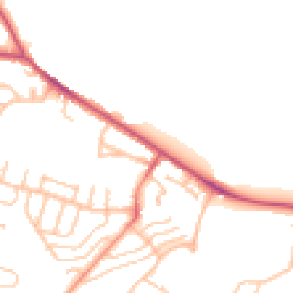
Daytime· 07:00 – 23:00
46.7dB

Night-time· 23:00 – 07:00
38.9dB