27 Brookdale Road, Nuneaton, CV10 0BL
About 27 Brookdale Road
27 Brookdale Road is a two-bedroom mid-terrace house in Nuneaton (CV10 0BL). It has a recorded floor area of 72 m² (around 775 sq ft), construction records dating it to 1930-1949 and council tax band B. The latest certificate (November 2018) shows an E (score 54), well below the UK norm with real room to improve. The recommended improvements would lift it to C (score 77), a 2-band jump.
It lags the bulk of the postcode on energy efficiency (less efficient than 81% of similar EPCs). Across 2007–2020, sale prices on this property compounded at 2% per year. Today's modelled estimate of £218,000 is 29% above the 2020 sale price. On a £-per-square-foot basis, the last sale (£218/sq ft) was about 38.7% above the typical sold price in the postcode. Most recent transfer: August 2020 at £169,000.
Know exactly what you're buying at 27 Brookdale Road
Before you offer, see what the listing won't tell you, the true value, the red flags and the full history.
Valuation
against the asking price
Risks
planning & flood
Sold prices
similar homes nearby
Trends
the local market
What this property has
Inside
- Bedrooms2
- Bathrooms1
Energy performance
Recommended upgrades on file would lift this property by multiple EPC bands.
EPC Rating
Planning history
27 Brookdale Road has no planning applications on record.
Notable planning nearby
1applications of note in the surrounding area
Sales history & valuation
The latest sale landed in the post-pandemic price surge — useful context when reading the figure.
£218,000
Modelled from EPC, postcode comparables and a sale-price growth of 2.0% per year over 13 years.
£169,000
Growth on file: 2.0% per year over 13 years.
Sales timeline
16 August 2020Most recent
£169,000
+3.7%over 1 year11 February 2019
£163,000
+24.9%over 11 years10 May 2007
£130,500
Median price across the last 5 sales in CV10 0BL: £215,000 (2025–2024).
Nearby sales in CV10 0BL
Everything we know about 27 Brookdale Road, in one report
What it's really worth, what could be wrong, and the planning, sales and area data in full.
- Am I paying too much?
- Is something wrong with it?
- Is the agent's story true?
- Will it hold its value?

Versus other Brookdale Road homes
EPC Rating for 27 Brookdale Road lags the street by a wide margin.
Price per m²
£2,347
Street avg £2,038
Floor Area
72 m²
Street avg 80 m²
Habitable Rooms
4 rooms
Street avg 4 rooms
CO₂ Emissions
4.7 t/year
Street avg 4.2 t/year
Similar properties nearby
1 Brookdale Road
CV10 0BL
1 Ash Drive, Hartshill
CV10 0XL
1 Atherstone Road, Hartshill
CV10 0SP
1 Caldecote Close
CV10 0ET
1 Beech Close, Hartshill
CV10 0XJ
1 Ansley Hall, Coleshill Road, Ansley Common
CV10 0QG
1 Castle Road
CV10 0EN
1 Carra Close
CV10 0UB
The neighbourhood at a glance
Reported crime in the wider district is trending notably upward year-on-year.
Crime
5/mo
Rising year-on-year across the wider district.
Nearest stop
0.1 km
Carisbrook Road — bus stop.
Closest school
0.2 km
Higham Lane School. 21 schools nearby.
Go deeper on the local area
The full report breaks down crime, transport links, schools and air quality in depth.
Road noise across the postcode
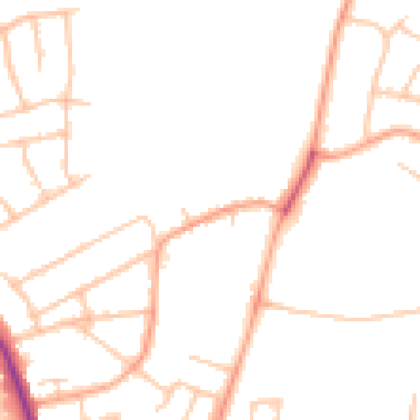
Daytime· 07:00 – 23:00
46.3dB

Night-time· 23:00 – 07:00
38.2dB