Are you a property professional?Get qualified leads from motivated homeowners.
Get started89 Beechwood Road, South Croydon, CR2 0AF
3 sales on record
About 89 Beechwood Road
A plain-English summary derived from public records, EPC certificates, sold prices and local data.
89 Beechwood Road is a four-bedroom detached house in South Croydon (CR2 0AF). It has a recorded floor area of 191 m² (around 2056 sq ft), construction records dating it to 1950-1966 and council tax band F. The latest certificate (November 2014) shows a D (score 67), on the cusp of jumping into the C band. The recommended improvements would lift it to B (score 82), a 2-band jump. The latest certificate is from November 2014, so improvements made since then won't be reflected. Records show the property has been extended at some point in its history.
Sale prices here have outpaced England HPI: 5.2% per year against 0% for the wider region. Today's modelled estimate of £842,000 is 16.1% above the 2015 sale price. At 191 m² the property is well over the postcode median (139 m² across 3 EPCs), placing it in the larger end of the local stock. 2 planning records sit against the property, 1 approved, 1 refused. Past consents include an extension, meaningful when judging how the property has evolved. On the market in September 2015 and unlisted since — roughly 11 years.
What this property has
Pulled from EPC certificates, claim submissions and our property model. Empty categories are hidden — we only show what's known.
Inside
- Bedrooms4
- Dining roomYes
- Utility roomYes
Outside
- Private garden
Energy performance
Every EPC certificate filed against this property — current rating, recorded improvements, and where there's headroom to reach a higher band.
89 Beechwood Road's carbon output runs well above what efficient homes in the postcode produce.
EPC Expired
This certificate is over 10 years old and is no longer valid.Expired 14 Nov 2024
Planning history
Applications and permits filed against 89 Beechwood Road, South Croydon, CR2 0AF, sourced from the PlanIt planning register.
89 Beechwood Road has 2 separate extension applications on the council record.
- Dec 2007ExtensionFullGranted
Extension: Single storey · Side and rear of property
Erection of single storey rear and first floor side extensions
Sales history & valuation
Recorded transactions, our model's current estimate, and a quick read on what neighbouring properties have sold for.
Latest sale on 89 Beechwood Road was the highest on Land Registry record across the postcode.
Current estimate
See how we calculated this£842,000
Modelled from EPC, postcode comparables and a sale-price growth of 5.2% per year over 12 years.
Last sold (2015)
£725,000
Growth on file: 5.2% per year over 12 years.
Sales timeline
Versus other Beechwood Road homes
Four headline reads against 3 similar houses on this street, drawn from the latest EPC and Land Registry data.
89 Beechwood Road outperforms the street on epc rating by a wide margin.
EPC Rating
67 (D)
Street avg 43 (E)
Floor Area
191 m²
Street avg 142 m²
CO₂ Emissions
6.2 t/year
Similar properties nearby
A handful of close matches in the same postcode area, ranked by likeness on bedrooms, type and floor area.
The neighbourhood at a glance
A condensed read of the local area. Each tile links through to the full breakdown on the South Croydon district page.
Rail-style transport is unusually close for this postcode.
Crime
5/mo
Rising year-on-year across the wider district.
Nearest stop
0.2 km
West Hill — bus stop.
Road noise across the postcode
Modelled day and night-time noise levels around CR2 0AF from Defra's strategic mapping. The pin marks this postcode's centroid.
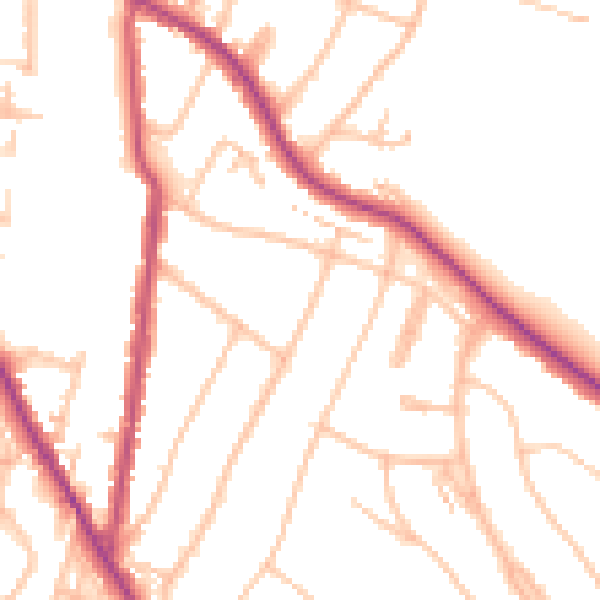
Daytime· 07:00 – 23:00
50.4dB

Everything within walking distance
Schools, transport stops and scenic spots near this property — 63 points of interest in total.
Beautiful places to visit nearby
Curated scenic spots within reach of this postcode, served by Beautifulplaces.ai. Photography and tagging come from their open dataset.
Common questions
The questions buyers, sellers and homeowners most often ask about 89 Beechwood Road, South Croydon, CR2 0AF. Each answer is also embedded as structured data for search engines.