1 Bonita Walk, Colchester, CO4 6EJ
About 1 Bonita Walk
1 Bonita Walk is a four-bedroom semi-detached house in Colchester (CO4 6EJ). It has a recorded floor area of 122 m² (around 1313 sq ft) and construction records dating it to 2022. The latest certificate (August 2022) returns a B (score 82), comfortably above the UK average. The recommended improvements would push it to A (score 92).
At 122 m² it's 15.1% larger than the typical home in the postcode (106 m² median across 13 EPCs). Across 2022–2023, sale prices on this property compounded at 6.1% per year. Sold March 2023 for £525,000.
Know exactly what you're buying at 1 Bonita Walk
Before you offer, see what the listing won't tell you, the true value, the red flags and the full history.
Valuation
against the asking price
Risks
planning & flood
Sold prices
similar homes nearby
Trends
the local market
What this property has
Inside
- Bedrooms4
- Bathrooms3
- Dining roomYes
- Utility roomYes
- CloakroomYes
- EnsuiteYes
Outside
- Private gardenRear
- GarageYes
Energy performance
EPC Rating
Planning history
1 Bonita Walk has no planning applications on record.
The full report still covers planning activity across the surrounding area.
Sales history & valuation
1 Bonita Walk changed hands twice within eighteen months — unusual for the area.
£503,000
Modelled from EPC, postcode comparables and a sale-price growth of 6.1% per year over 1 year.
£525,000
Growth on file: 6.1% per year over 1 year.
Sales timeline
8 March 2023Most recent
£525,000
+6.1%over 6 months23 August 2022
£495,000
Median price across the last 5 sales in CO4 6EJ: £379,950 (2022–2022).
Nearby sales in CO4 6EJ
Everything we know about 1 Bonita Walk, in one report
What it's really worth, what could be wrong, and the planning, sales and area data in full.
- Am I paying too much?
- Is something wrong with it?
- Is the agent's story true?
- Will it hold its value?

Versus other Bonita Walk homes
On price per m², 1 Bonita Walk stands well clear of the street.
Price per m²
£4,303
Street avg £4,149
Floor Area
122 m²
Street avg 105 m²
CO₂ Emissions
2.0 t/year
Street avg 1.7 t/year
Years Held
3 years
Street avg 4 years
Similar properties nearby
The neighbourhood at a glance
Crime
5/mo
Steady year-on-year across the wider district.
Nearest stop
0.5 km
Chesterwell Plaza — bus stop.
Closest school
0.8 km
Myland Community Primary School. 14 schools nearby.
Go deeper on the local area
The full report breaks down crime, transport links, schools and air quality in depth.
Road noise across the postcode
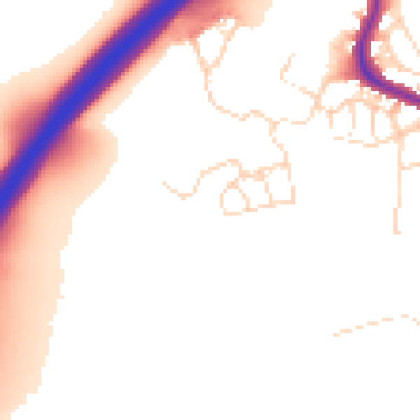
Daytime· 07:00 – 23:00
51.3dB

Night-time· 23:00 – 07:00
44.5dB