7 Chestnut Way, Takeley, Bishop's Stortford, CM22 6RW
About 7 Chestnut Way
7 Chestnut Way is a four-bedroom detached house in Bishop's Stortford (CM22 6RW). It has a recorded floor area of 101 m² (around 1087 sq ft), construction records dating it to 1967-1975 and council tax band E. The latest certificate (September 2018) shows a C (score 69), just inside the C band. When first surveyed in September 2013 the rating was D, the property has climbed 1 band since. Between certificates, hot-water efficiency went from Average to Good; while window efficiency dropped from Good to Average and lighting dropped from Good to Poor. The recommended improvements would push it to B (score 86).
At 101 m² it's 17.9% smaller than the typical home in the postcode (123 m² median across 20 EPCs). On energy efficiency it sits in the top 10% of properties in this postcode. Across 1999–2023, sale prices on this property compounded at 5.4% per year. On a £-per-square-foot basis, the last sale (£414/sq ft) was about 36.3% above the typical sold price in the postcode. Sold September 2023 for £450,000.
Know exactly what you're buying at 7 Chestnut Way
Before you offer, see what the listing won't tell you, the true value, the red flags and the full history.
Already flagged here
Valuation
against the asking price
Risks
planning & flood
Sold prices
similar homes nearby
Trends
the local market
What this property has
Inside
- Bedrooms4
- Bathrooms1
- Dining roomYes
- Utility roomYes
- CloakroomYes
Outside
- Private gardenRear
- GarageYes
Energy performance
7 Chestnut Way ranks among the most efficient homes in the postcode for energy use.
EPC Rating
Property Improvements
Changes detected from historical EPC data
Hot water efficiency improved
Loft insulation upgraded to recommended levels
Low energy lighting percentage decreased
Planning history
7 Chestnut Way has no planning applications on record.
Notable planning nearby
3applications of note in the surrounding area
We flagged 1 thing worth checking at 7 Chestnut Way
Independent checks surfaced things a buyer would want to understand before offering. The report explains each one in full, with the underlying data and what to ask.
- Larger development activity nearby
30-day money-back guarantee
Sales history & valuation
Sale price has grown by over 3x since 1999.
£492,000
Modelled from EPC, postcode comparables and a sale-price growth of 5.4% per year over 24 years.
£450,000
Growth on file: 5.4% per year over 24 years.
Sales timeline
7 September 2023Most recent
£450,000
+18.4%over 16 years17 May 2007
£380,100
+204.1%over 7 years22 June 1999
£125,000
Median price across the last 5 sales in CM22 6RW: £402,000 (2024–2009).
Nearby sales in CM22 6RW
6 Chestnut Way, Takeley, Bishop's Stortford, CM22 6RW
Sold Aug 2024
£405,00013 Chestnut Way, Takeley, Bishop's Stortford, CM22 6RW
Sold May 2015
£402,00011 Chestnut Way, Takeley, Bishop's Stortford, CM22 6RW
Sold Oct 2009
£384,60027 Chestnut Way, Takeley, Bishop's Stortford, CM22 6RW
Sold Sept 2009
£346,80025 Chestnut Way, Takeley, Bishop's Stortford, CM22 6RW
Sold May 2009
£417,500
Everything we know about 7 Chestnut Way, in one report
What it's really worth, what could be wrong, and the planning, sales and area data in full.
What we flagged
- Larger development activity nearby

Versus other Chestnut Way homes
7 Chestnut Way outperforms the street on price per m² by a wide margin.
Price per m²
£4,455
Street avg £3,289
Floor Area
101 m²
Street avg 122 m²
Habitable Rooms
6 rooms
Street avg 6 rooms
CO₂ Emissions
3.8 t/year
Street avg 6.2 t/year
Similar properties nearby
1 Alsa Gardens, Elsenham
CM22 6HD
1 Cambridge Walk, Henham
CM22 6UE
1 Camps Close, Takeley
CM22 6YJ
1 Blossom Hill Drive, Henham
CM22 6BU
1 Askew Close, Elsenham
CM22 6XU
1 Arcadia Villas, Dellows Lane, Ugley
CM22 6HN
1 Batts Row, Ugley Green
CM22 6HL
1 Alsa Leys, Elsenham
CM22 6JS
The neighbourhood at a glance
Daytime road noise here sits well below conversation level — a quiet pocket of the postcode.
Crime
2/mo
Steady year-on-year across the wider district.
Nearest stop
0.1 km
Chestnut Way — bus stop.
Closest school
0.3 km
Roseacres Primary School. 2 schools nearby.
Go deeper on the local area
The full report breaks down crime, transport links, schools and air quality in depth.
Road noise across the postcode
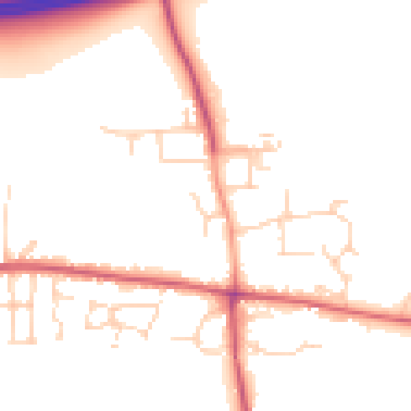
Daytime· 07:00 – 23:00
49.9dB

Night-time· 23:00 – 07:00
42.0dB