Are you a property professional?Get qualified leads from motivated homeowners.
Get started107 Brentwood Road, Ingrave, Brentwood, CM13 3NU
1 planning record
About 107 Brentwood Road
A plain-English summary derived from public records, EPC certificates, sold prices and local data.
107 Brentwood Road is a two-bedroom mid-terrace house in Ingrave, Brentwood, Brentwood (CM13 3NU). It has a recorded floor area of 48 m² (around 517 sq ft), construction records dating it to before 1900 and council tax band D. The latest certificate (January 2020) shows an F (score 38), near the bottom of the EPC scale. The recommended improvements would lift it to B (score 90), a 4-band jump. Main heating runs on electricity.
On energy efficiency it sits in the bottom 10% of properties in this postcode — significant headroom for improvement. Across 2016–2021, sale prices here grew -0.3% per year, broadly in step with Brentwood's 0% HPI growth. Today's modelled estimate of £371,000 is 10.7% above the 2021 sale price. On a £-per-square-foot basis, the last sale (£648/sq ft) was about 135.7% above the typical sold price in the postcode. Last sale on file: £335,000 in June 2021. That sale was during the post-pandemic price surge, when transactions cleared materially above pre-2020 trend. One historical planning record sits against the property in 2006.
What this property has
Pulled from EPC certificates, claim submissions and our property model. Empty categories are hidden — we only show what's known.
Inside
- Bedrooms2
- Bathrooms1
Energy performance
Every EPC certificate filed against this property — current rating, recorded improvements, and where there's headroom to reach a higher band.
107 Brentwood Road sits at the bottom of the postcode for energy efficiency — meaningful headroom to improve.
EPC Rating
A
B
C
D
E
F
F38
G
Main Heating
Electric
Main Fuel
Electric
Hot Water
Poor
Windows
Average
CO2 Emissions
4.5 t/year
Occupancy
Owner Occupied
Planning history
Applications and permits filed against 107 Brentwood Road, Ingrave, Brentwood, CM13 3NU, sourced from the PlanIt planning register.
- Mar 2006RenovationFullGranted
New Vehicular Crossover To Brentwood Road
Sales history & valuation
Recorded transactions, our model's current estimate, and a quick read on what neighbouring properties have sold for.
The latest sale landed in the post-pandemic price surge — useful context when reading the figure.
Current estimate
See how we calculated this£371,000
Modelled from EPC, postcode comparables and a sale-price growth of -0.3% per year over 5 years.
Last sold (2021)
£335,000
Growth on file: -0.3% per year over 5 years.
Sales timeline
Versus other Brentwood Road homes
Four headline reads against 14 similar houses on this street, drawn from the latest EPC and Land Registry data.
107 Brentwood Road is notably below the street on epc rating.
Price per m²
£6,979
Street avg £4,452
Floor Area
48 m²
Street avg 74 m²
Habitable Rooms
3 rooms
Street avg 4 rooms
Similar properties nearby
A handful of close matches in the same postcode area, ranked by likeness on bedrooms, type and floor area.
The neighbourhood at a glance
A condensed read of the local area. Each tile links through to the full breakdown on the Brentwood district page.
Daytime road noise here sits well below conversation level — a quiet pocket of the postcode.
Crime
4/mo
Steady year-on-year across the wider district.
Nearest stop
0.1 km
Road noise across the postcode
Modelled day and night-time noise levels around CM13 3NU from Defra's strategic mapping. The pin marks this postcode's centroid.
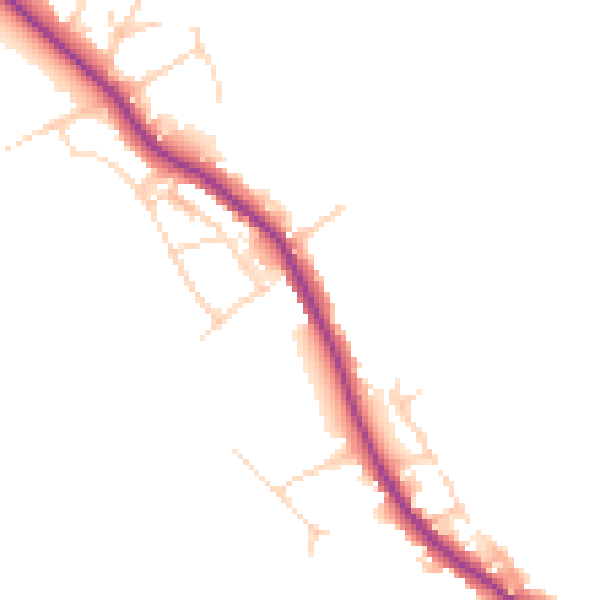
Daytime· 07:00 – 23:00
45.0dB

Everything within walking distance
Schools, transport stops and scenic spots near this property — 33 points of interest in total.
Beautiful places to visit nearby
Curated scenic spots within reach of this postcode, served by Beautifulplaces.ai. Photography and tagging come from their open dataset.
Common questions
The questions buyers, sellers and homeowners most often ask about 107 Brentwood Road, Ingrave, Brentwood, CM13 3NU. Each answer is also embedded as structured data for search engines.