Are you a property professional?Get qualified leads from motivated homeowners.
Get started8 Bowmont Close, Hutton, Brentwood, CM13 1EB
9 planning records
About 8 Bowmont Close
A plain-English summary derived from public records, EPC certificates, sold prices and local data.
8 Bowmont Close is a property in Hutton, Brentwood, Brentwood (CM13 1EB). It has council tax band F.
It hasn't traded since May 2003, a hold of 23 years that's notably long for the area. Sale prices here have outpaced Brentwood HPI: 14% per year against 0% for the wider region. 9 planning records sit against the property, 9 approved, 0 refused. Past consents include tree works, meaningful when judging how the property has evolved.
Energy performance
Every EPC certificate filed against this property — current rating, recorded improvements, and where there's headroom to reach a higher band.
No EPC on record
This property doesn't have an Energy Performance Certificate yet. An EPC is required to sell or let — and unlocks our automated valuation.
Planning history
Applications and permits filed against 8 Bowmont Close, Hutton, Brentwood, CM13 1EB, sourced from the PlanIt planning register.
Planning history at 8 Bowmont Close is exclusively tree-management applications — typical for a property with mature trees on or near the plot.
- Mar 2026Tree WorksTreesGranted
T1 Oak Crown Reduction - Reducing the height and spread of the tree by up to 1.5m below the previous pruning points to reduce canopy size TPO169/1992 TPO22/1995
Sales history & valuation
Recorded transactions, our model's current estimate, and a quick read on what neighbouring properties have sold for.
8 Bowmont Close has more than doubled in price since the earliest registered sale in 1996.
Last sold (2003)
£480,000
Growth on file: 14.0% per year over 7 years.
Sales timeline
15 May 2003Most recent
£480,000
+140.1%over 6 years
Similar properties nearby
A handful of close matches in the same postcode area, ranked by likeness on bedrooms, type and floor area.
The neighbourhood at a glance
A condensed read of the local area. Each tile links through to the full breakdown on the Brentwood district page.
Rail-style transport is unusually close for this postcode.
Crime
4/mo
Steady year-on-year across the wider district.
Nearest stop
0.2 km
Long Ridings School — bus stop.
Road noise across the postcode
Modelled day and night-time noise levels around CM13 1EB from Defra's strategic mapping. The pin marks this postcode's centroid.
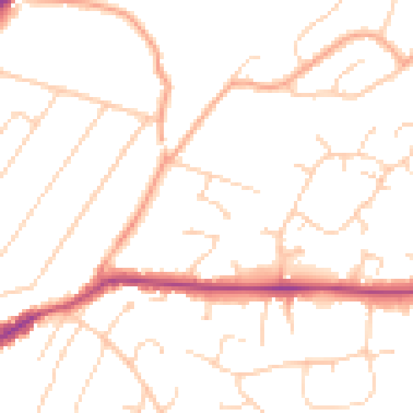
Daytime· 07:00 – 23:00
49.7dB

Everything within walking distance
Schools, transport stops and scenic spots near this property — 45 points of interest in total.
Beautiful places to visit nearby
Curated scenic spots within reach of this postcode, served by Beautifulplaces.ai. Photography and tagging come from their open dataset.
Common questions
The questions buyers, sellers and homeowners most often ask about 8 Bowmont Close, Hutton, Brentwood, CM13 1EB. Each answer is also embedded as structured data for search engines.