Are you a property professional?Get qualified leads from motivated homeowners.
Get startedBrooklyn, Alexander Lane, Hutton, Brentwood, CM13 1AG
1 planning record
About Brooklyn
A plain-English summary derived from public records, EPC certificates, sold prices and local data.
Brooklyn is a four-bedroom detached house in Hutton, Brentwood, Brentwood (CM13 1AG). It has a recorded floor area of 154 m² (around 1658 sq ft), construction records dating it to 1930-1949 and council tax band F. The latest certificate (September 2016) shows a D (score 55), a step below the typical UK home. The recommended improvements would push it to C (score 75).
Sale prices here have outpaced Brentwood HPI: 4.5% per year against 0% for the wider region. Today's modelled estimate of £1,006,000 is 21.2% above the 2017 sale price. At 154 m² the property is well over the postcode median (78 m² across 36 EPCs), placing it in the larger end of the local stock. It lags the bulk of the postcode on energy efficiency (less efficient than 72% of similar EPCs). One planning record on file: an extension approved in 2013. Past consents include an extension, meaningful when judging how the property has evolved. 9 years since the last transfer (September 2017).
What this property has
Pulled from EPC certificates, claim submissions and our property model. Empty categories are hidden — we only show what's known.
Inside
- Bedrooms4
- Dining roomYes
- Utility roomYes
- EnsuiteYes
Energy performance
Every EPC certificate filed against this property — current rating, recorded improvements, and where there's headroom to reach a higher band.
Brooklyn's carbon output runs well above what efficient homes in the postcode produce.
EPC Rating
A
B
C
D
D55
E
F
G
Main Heating
Gas
Main Fuel
Gas
Hot Water
Good
Windows
Average
CO2 Emissions
7.9 t/year
Occupancy
Owner Occupied
Planning history
Applications and permits filed against Brooklyn, Alexander Lane, Hutton, Brentwood, CM13 1AG, sourced from the PlanIt planning register.
- Sept 2013ExtensionFullGranted
Extension: Single storey
Removal of side conservatory and single storey rear element. Construction of single storey rear extension with roof lights and single storey side extension with roof lights.
Sales history & valuation
Recorded transactions, our model's current estimate, and a quick read on what neighbouring properties have sold for.
Brooklyn valuation sits well clear of the typical sold price in this postcode.
Current estimate
See how we calculated this£1,006,000
Modelled from EPC, postcode comparables and a sale-price growth of 4.5% per year over 11 years.
Last sold (2017)
£830,000
Growth on file: 4.5% per year over 11 years.
Sales timeline
Versus other Alexander Lane homes
Four headline reads against 19 similar houses on this street, drawn from the latest EPC and Land Registry data.
EPC Rating for Brooklyn lags the street by a wide margin.
Price per m²
£5,390
Street avg £6,809
Floor Area
154 m²
Street avg 166 m²
Habitable Rooms
7 rooms
Street avg 7 rooms
Similar properties nearby
A handful of close matches in the same postcode area, ranked by likeness on bedrooms, type and floor area.
The neighbourhood at a glance
A condensed read of the local area. Each tile links through to the full breakdown on the Brentwood district page.
Rail-style transport is unusually close for this postcode.
Crime
4/mo
Steady year-on-year across the wider district.
Nearest stop
0.3 km
Long Ridings School — bus stop.
Road noise across the postcode
Modelled day and night-time noise levels around CM13 1AG from Defra's strategic mapping. The pin marks this postcode's centroid.
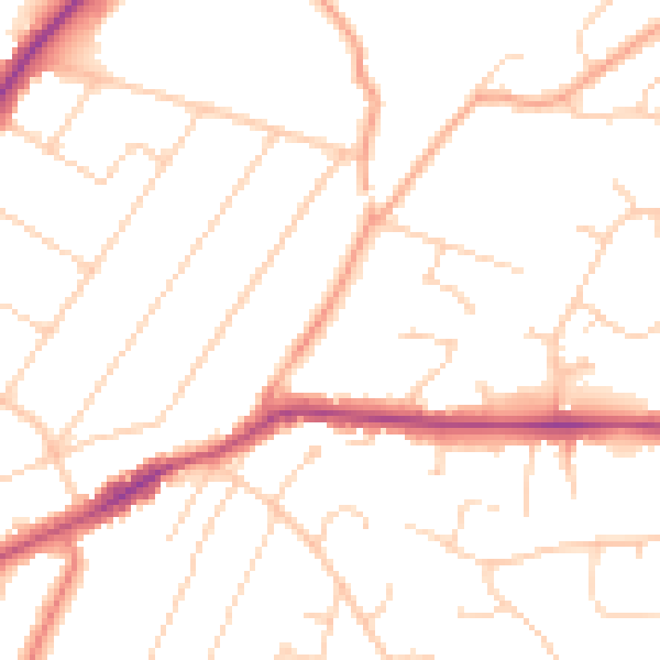
Daytime· 07:00 – 23:00
49.8dB

Everything within walking distance
Schools, transport stops and scenic spots near this property — 45 points of interest in total.
Beautiful places to visit nearby
Curated scenic spots within reach of this postcode, served by Beautifulplaces.ai. Photography and tagging come from their open dataset.
Common questions
The questions buyers, sellers and homeowners most often ask about Brooklyn, Alexander Lane, Hutton, Brentwood, CM13 1AG. Each answer is also embedded as structured data for search engines.