8 Darleydale Drive, Wirral, CH62 8EX
About 8 Darleydale Drive
8 Darleydale Drive is a mid-terrace house in Wirral (CH62 8EX). It has a recorded floor area of 89 m² (around 958 sq ft), construction records dating it to 1976-1982 and council tax band A. The latest certificate (September 2013) shows a D (score 64), on the cusp of jumping into the C band. The recommended improvements would lift it to B (score 86), a 2-band jump. The latest certificate is from September 2013, so improvements made since then won't be reflected.
13 years since the last transfer (September 2013). Today's modelled estimate of £128,000 is 39.1% above the 2013 sale price.
Know exactly what you're buying at 8 Darleydale Drive
Before you offer, see what the listing won't tell you, the true value, the red flags and the full history.
Launch offer · save £5
Valuation
against the asking price
Risks
planning & flood
Sold prices
similar homes nearby
Trends
the local market
Energy performance
Recommended upgrades on file would lift this property by multiple EPC bands.
EPC Expired
This certificate is over 10 years old and is no longer valid.Expired 01 Sept 2023
EPC Rating
Planning history
8 Darleydale Drive has no planning applications on record.
The full report still covers planning activity across the surrounding area.
Sales history & valuation
8 Darleydale Drive valuation sits well clear of the typical sold price in this postcode.
£128,000
Modelled from EPC, postcode comparables.
£92,000
Recorded with HM Land Registry.
Sales timeline
26 September 2013Most recent
£92,000
Median price across the last 5 sales in CH62 8EX: £108,000 (2025–2022).
Nearby sales in CH62 8EX
Everything we know about 8 Darleydale Drive, in one report
What it's really worth, what could be wrong, and the planning, sales and area data in full.
- Am I paying too much?
- Is something wrong with it?
- Is the agent's story true?
- Will it hold its value?

Versus other Darleydale Drive homes
8 Darleydale Drive is notably below the street on epc rating.
Price per m²
£1,034
Street avg £1,061
Floor Area
89 m²
Street avg 91 m²
Habitable Rooms
4 rooms
Street avg 5 rooms
CO₂ Emissions
3.8 t/year
Street avg 3.6 t/year
Similar properties nearby
The neighbourhood at a glance
Crime
3/mo
Steady year-on-year across the wider district.
Nearest stop
0.1 km
Carlett Boulevard — bus stop.
Closest school
0.3 km
Heygarth Primary School. 9 schools nearby.
Go deeper on the local area
The full report breaks down crime, transport links, schools and air quality in depth.
Road noise across the postcode
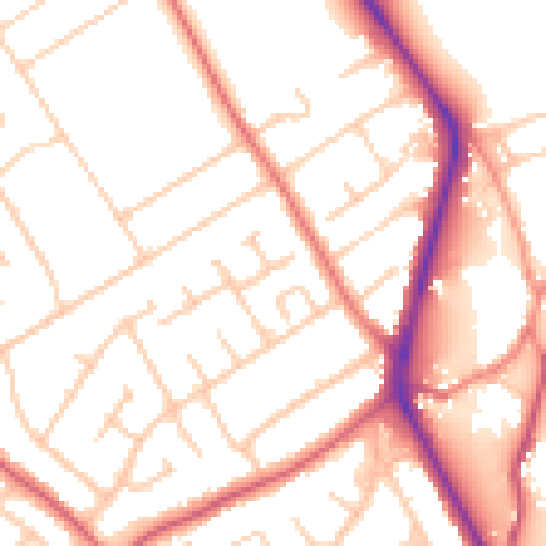
Daytime· 07:00 – 23:00
53.0dB

Night-time· 23:00 – 07:00
43.1dB