55 Allport Road, Wirral, CH62 6AA
About 55 Allport Road
55 Allport Road is a three-bedroom semi-detached house in Wirral (CH62 6AA). It has a recorded floor area of 100 m² (around 1076 sq ft), construction records dating it to 1950-1966 and council tax band C. The latest certificate (November 2017) shows a D (score 56), a step below the typical UK home. The recommended improvements would lift it to B (score 83), a 2-band jump.
Today's modelled estimate of £226,000 sits 222.9% above the 2017 sale of £70,000. On a £-per-square-foot basis, the last sale (£65/sq ft) was about 40.7% below the postcode norm. 9 years since the last transfer (September 2017).
Know exactly what you're buying at 55 Allport Road
Before you offer, see what the listing won't tell you, the true value, the red flags and the full history.
Launch offer · save £5
Valuation
against the asking price
Risks
planning & flood
Sold prices
similar homes nearby
Trends
the local market
What this property has
Inside
- Bedrooms3
- Bathrooms1
- Dining roomYes
Building
- Heating systemgas
Energy performance
Recommended upgrades on file would lift this property by multiple EPC bands.
EPC Rating
Planning history
55 Allport Road has no planning applications on record.
The full report still covers planning activity across the surrounding area.
Sales history & valuation
55 Allport Road's estimated value is more than triple its earliest registered sale price (2017).
£226,000
Modelled from EPC, postcode comparables.
£70,000
Recorded with HM Land Registry.
Sales timeline
6 September 2017Most recent
£70,000
Median price across the last 5 sales in CH62 6AA: £240,000 (2025–2015).
Everything we know about 55 Allport Road, in one report
What it's really worth, what could be wrong, and the planning, sales and area data in full.
- Am I paying too much?
- Is something wrong with it?
- Is the agent's story true?
- Will it hold its value?

Versus other Allport Road homes
Price per m² for 55 Allport Road lags the street by a wide margin.
Price per m²
£700
Street avg £1,447
Floor Area
100 m²
Street avg 105 m²
Habitable Rooms
5 rooms
Street avg 6 rooms
CO₂ Emissions
5.4 t/year
Street avg 5.7 t/year
Similar properties nearby
1 Gordon Avenue, Bromborough
CH62 6AL
1 Bridle Road, Bromborough
CH62 6AP
1 Bridle Close
CH62 6DW
1 Bronington Avenue
CH62 6DT
1 Allport Road
CH62 6AA
1 Oakdene Close
CH62 6DR
1 Redbrook Close
CH62 6EA
1 Gorsefield Avenue
CH62 6BY
The neighbourhood at a glance
Crime
3/mo
Steady year-on-year across the wider district.
Nearest stop
0.2 km
Bridle Road — bus stop.
Closest school
0.1 km
Christ The King Catholic Primary School. 9 schools nearby.
Go deeper on the local area
The full report breaks down crime, transport links, schools and air quality in depth.
Road noise across the postcode
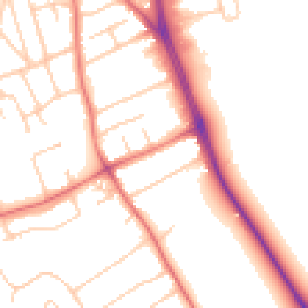
Daytime· 07:00 – 23:00
51.5dB

Night-time· 23:00 – 07:00
41.3dB