Flat 7, 1 Stanley Road, New Ferry, Wirral, CH62 5AR
About Flat 7
Flat 7 is a semi-detached house in New Ferry, Wirral, Wirral (CH62 5AR). It has a recorded floor area of 29 m² (around 312 sq ft) and construction records dating it to before 1900. The latest certificate (August 2016) shows an F (score 38), near the bottom of the EPC scale. The recommended improvements would lift it to C (score 78), a 3-band jump. Main heating runs on to be used only when there is no heating/hot. At 29 m² this is the 6th smallest of 14 units on EPC record in the building, where floor areas span 22–158 m². The building's EPC ratings span G to C across 14 units on file.
At 29 m² it sits well below the postcode median (80 m² across 36 EPCs), making it one of the more compact homes locally. On energy efficiency it sits in the bottom 10% of properties in this postcode — significant headroom for improvement.
Know exactly what you're buying at Flat 7
Before you offer, see what the listing won't tell you, the true value, the red flags and the full history.
Launch offer · save £5
Valuation
against the asking price
Risks
planning & flood
Sold prices
similar homes nearby
Trends
the local market
Energy performance
Flat 7 sits at the bottom of the postcode for energy efficiency — meaningful headroom to improve.
EPC Rating
Planning history
Flat 7 has no planning applications on record.
The full report still covers planning activity across the surrounding area.
Sales history & valuation
Flat 7 has no Land Registry sales on file, suggesting it has stayed in the same hands since registration began.
£173,000
Modelled from EPC, postcode comparables.
No sales recorded with HM Land Registry
That can mean the property has never traded since the registry began publishing in 1995, was a new build that hasn't been registered yet, or is held in the same hands long-term.
Median price across the last 5 sales in CH62 5AR: £229,000 (2025–2023).
Nearby sales in CH62 5AR
41 Stanley Road, New Ferry, Wirral, CH62 5AR
Sold Oct 2025
£229,00011 Stanley Road, New Ferry, Wirral, CH62 5AR
Sold Mar 2025
£190,00015 Stanley Road, New Ferry, Wirral, CH62 5AR
Sold Mar 2025
£294,00061 Stanley Road, New Ferry, Wirral, CH62 5AR
Sold Oct 2023
£285,00051 Stanley Road, New Ferry, Wirral, CH62 5AR
Sold May 2023
£188,000
Everything we know about Flat 7, in one report
What it's really worth, what could be wrong, and the planning, sales and area data in full.
- Am I paying too much?
- Is something wrong with it?
- Is the agent's story true?
- Will it hold its value?

Versus other Stanley Road homes
Flat 7 is notably below the street on epc rating.
EPC Rating
38 (F)
Street avg 59 (D)
Floor Area
29 m²
Street avg 43 m²
CO₂ Emissions
2.6 t/year
Street avg 2.2 t/year
Habitable Rooms
1 rooms
Street avg 2 rooms
Similar properties nearby
Darcy Court, Apartment 20, Wharf Street
CH62 5HE
Darcy Court, Apartment 15, Wharf Street
CH62 5HE
1 3, Flat 1, Olinda Street
CH62 5DA
Darcy Court, Apartment 34, Wharf Street
CH62 5HE
Darcy Court, Apartment 16, Wharf Street
CH62 5HE
Darcy Court, Apartment 17, Wharf Street
CH62 5HE
Darcy Court, Apartment 18, Wharf Street
CH62 5HE
Darcy Court, Apartment 2, Wharf Street
CH62 5HE
The neighbourhood at a glance
Crime
3/mo
Steady year-on-year across the wider district.
Nearest stop
0.2 km
Hassal Road — bus stop.
Closest school
0.3 km
Grove Street Primary School. 25 schools nearby.
Go deeper on the local area
The full report breaks down crime, transport links, schools and air quality in depth.
Road noise across the postcode
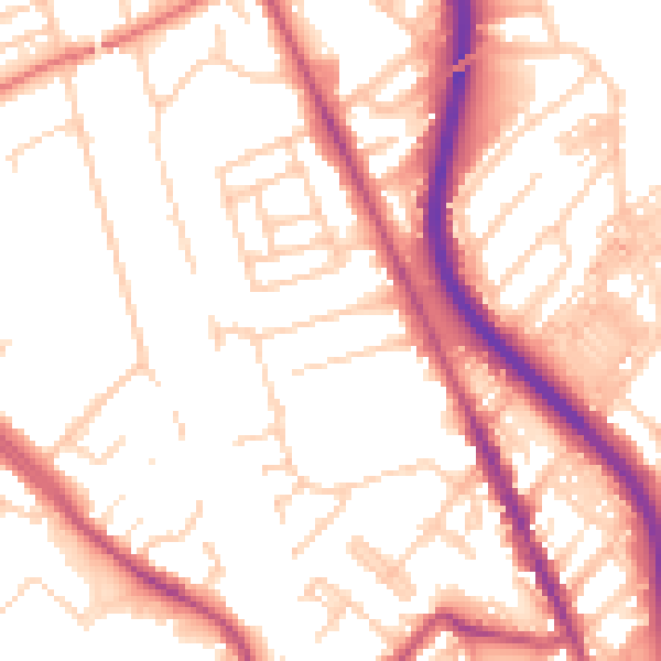
Daytime· 07:00 – 23:00
53.7dB

Night-time· 23:00 – 07:00
43.5dB