32 Western Avenue, Wirral, CH62 3LU
About 32 Western Avenue
32 Western Avenue is a three-bedroom semi-detached house in Wirral (CH62 3LU). It has a recorded floor area of 69 m² (around 740 sq ft), construction records dating it to 1930-1949 and council tax band A. The latest certificate (March 2009) shows an F (score 38), near the bottom of the EPC scale. The recommended improvements would lift it to C (score 71), a 3-band jump. The latest certificate is from March 2009, so improvements made since then won't be reflected.
On energy efficiency it sits in the bottom 10% of properties in this postcode — significant headroom for improvement. Across 2009–2014, sale prices on this property compounded at 4% per year. Today's modelled estimate of £179,000 sits 55.7% above the 2014 sale of £115,000. Last sold in July 2014, so it's been off the market for around 12 years.
Know exactly what you're buying at 32 Western Avenue
Before you offer, see what the listing won't tell you, the true value, the red flags and the full history.
Launch offer · save £5
Valuation
against the asking price
Risks
planning & flood
Sold prices
similar homes nearby
Trends
the local market
What this property has
Inside
- Bedrooms3
Outside
- Private gardenfront_and_rear
- GarageYes
Building
- Heating systemgas
- RefurbishedYes
Energy performance
32 Western Avenue sits at the bottom of the postcode for energy efficiency — meaningful headroom to improve.
EPC Expired
This certificate is over 10 years old and is no longer valid.Expired 18 Mar 2019
EPC Rating
Planning history
32 Western Avenue has no planning applications on record.
The full report still covers planning activity across the surrounding area.
Sales history & valuation
32 Western Avenue valuation sits well clear of the typical sold price in this postcode.
£179,000
Modelled from EPC, postcode comparables and a sale-price growth of 4.0% per year over 5 years.
£115,000
Growth on file: 4.0% per year over 5 years.
Sales timeline
3 July 2014Most recent
£115,000
+19.8%over 4 years27 November 2009
£96,000
Median price across the last 5 sales in CH62 3LU: £138,500 (2025–2015).
Nearby sales in CH62 3LU
Everything we know about 32 Western Avenue, in one report
What it's really worth, what could be wrong, and the planning, sales and area data in full.
- Am I paying too much?
- Is something wrong with it?
- Is the agent's story true?
- Will it hold its value?

Versus other Western Avenue homes
On co₂ emissions, 32 Western Avenue runs well behind the street norm.
Price per m²
£1,673
Street avg £2,067
Floor Area
69 m²
Street avg 70 m²
Habitable Rooms
4 rooms
Street avg 4 rooms
CO₂ Emissions
6.1 t/year
Street avg 3.7 t/year
Similar properties nearby
The neighbourhood at a glance
Rail-style transport is unusually close for this postcode.
Crime
3/mo
Steady year-on-year across the wider district.
Nearest stop
0.2 km
Eastern Avenue — bus stop.
Closest school
0.9 km
Co-op Academy Woodslee. 18 schools nearby.
Go deeper on the local area
The full report breaks down crime, transport links, schools and air quality in depth.
Road noise across the postcode
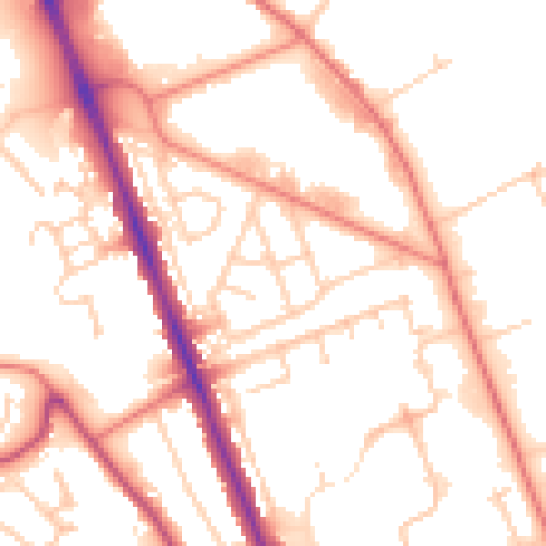
Daytime· 07:00 – 23:00
53.1dB

Night-time· 23:00 – 07:00
42.6dB