9 Hornby Court, Wirral, CH62 2EJ
About 9 Hornby Court
9 Hornby Court is a one-bedroom mid-terrace house in Wirral (CH62 2EJ). It has a recorded floor area of 45 m² (around 484 sq ft), construction records dating it to 1950-1966 and council tax band A. At 45 m² this is the 19th smallest of 34 units on EPC record in the building, where floor areas span 36–57 m². The building's EPC ratings span F to C, with this unit at the top. The property has underfloor heating on record, all of which lower running costs and tend to lift resale appeal. The latest certificate (October 2020) shows a C (score 69), just inside the C band. The recommended improvements would push it to B (score 81). Main heating runs on electricity.
Most recent transfer was June 2025 at £80,500 — fresh data. Its energy rating outperforms most of the postcode (better than 85% of similar EPCs). Across 2021–2025, sale prices on this property compounded at 5.6% per year. Today's modelled estimate of £100,000 is 24.2% above the 2025 sale price. On a £-per-square-foot basis, the last sale (£166/sq ft) was about 66.5% above the typical sold price in the postcode.
Know exactly what you're buying at 9 Hornby Court
Before you offer, see what the listing won't tell you, the true value, the red flags and the full history.
Valuation
against the asking price
Risks
planning & flood
Sold prices
similar homes nearby
Trends
the local market
What this property has
Inside
- Bedrooms1
- Bathrooms1
- Dining roomYes
- EnsuiteYes
Outside
- Communal gardenYes
- ParkingYes
Building
- Underfloor heatingYes
- RefurbishedYes
Energy performance
EPC Rating
Planning history
9 Hornby Court has no planning applications on record.
The full report still covers planning activity across the surrounding area.
Sales history & valuation
9 Hornby Court valuation sits well clear of the typical sold price in this postcode.
£100,000
Modelled from EPC, postcode comparables and a sale-price growth of 5.6% per year over 4 years.
£80,500
Growth on file: 5.6% per year over 4 years.
Sales timeline
10 June 2025Most recent
£80,500
+23.8%over 3 years8 July 2021
£65,000
Median price across the last 5 sales in CH62 2EJ: £75,000 (2024–2022).
Everything we know about 9 Hornby Court, in one report
What it's really worth, what could be wrong, and the planning, sales and area data in full.
- Am I paying too much?
- Is something wrong with it?
- Is the agent's story true?
- Will it hold its value?

Versus other Hornby Court homes
Years Held for 9 Hornby Court lags the street by a wide margin.
Price per m²
£1,789
Street avg £1,239
Floor Area
45 m²
Street avg 45 m²
Habitable Rooms
2 rooms
Street avg 2 rooms
CO₂ Emissions
3.9 t/year
Street avg 3.3 t/year
Similar properties nearby
1 Hornby Court
CH62 2EJ
1 Hornby Avenue
CH62 2EQ
1 Hesketh Way, Bromborough
CH62 2EL
1 Oakridge Road
CH62 2AS
1 Gleaston Close
CH62 2ES
1 Churchwood Close
CH62 2DS
1 Church View Court, Mark Rake
CH62 2DJ
1 Muncaster Close
CH62 2ER
The neighbourhood at a glance
Rail-style transport is unusually close for this postcode.
Crime
3/mo
Steady year-on-year across the wider district.
Nearest stop
0.2 km
Mark Rake — bus stop.
Closest school
0.2 km
Co-op Academy Woodslee. 16 schools nearby.
Go deeper on the local area
The full report breaks down crime, transport links, schools and air quality in depth.
Road noise across the postcode
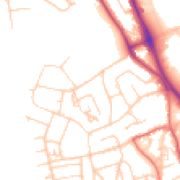
Daytime· 07:00 – 23:00
49.8dB

Night-time· 23:00 – 07:00
40.1dB