21 Mayfields North, Wirral, CH62 1AS
About 21 Mayfields North
21 Mayfields North is a semi-detached house in Wirral (CH62 1AS). It has a recorded floor area of 68 m² (around 732 sq ft), construction records dating it to 1930-1949 and council tax band A. The latest certificate (July 2016) shows an F (score 38), near the bottom of the EPC scale. The recommended improvements would lift it to B (score 87), a 4-band jump.
On energy efficiency it sits in the bottom 10% of properties in this postcode — significant headroom for improvement. Today's modelled estimate of £135,000 sits 50% above the 2016 sale of £90,000. Last sold in November 2016, so it's been off the market for around 10 years.
Know exactly what you're buying at 21 Mayfields North
Before you offer, see what the listing won't tell you, the true value, the red flags and the full history.
Valuation
against the asking price
Risks
planning & flood
Sold prices
similar homes nearby
Trends
the local market
Energy performance
21 Mayfields North sits at the bottom of the postcode for energy efficiency — meaningful headroom to improve.
EPC Rating
Planning history
21 Mayfields North has no planning applications on record.
The full report still covers planning activity across the surrounding area.
Sales history & valuation
£135,000
Modelled from EPC, postcode comparables.
£90,000
Recorded with HM Land Registry.
Sales timeline
11 November 2016Most recent
£90,000
Median price across the last 5 sales in CH62 1AS: £120,000 (2024–2016).
Nearby sales in CH62 1AS
Everything we know about 21 Mayfields North, in one report
What it's really worth, what could be wrong, and the planning, sales and area data in full.
- Am I paying too much?
- Is something wrong with it?
- Is the agent's story true?
- Will it hold its value?

Versus other Mayfields North homes
On price per m², 21 Mayfields North runs well behind the street norm.
Price per m²
£1,324
Street avg £1,880
Floor Area
68 m²
Street avg 67 m²
Habitable Rooms
5 rooms
Street avg 3 rooms
CO₂ Emissions
6.3 t/year
Street avg 3.7 t/year
Similar properties nearby
The neighbourhood at a glance
Rail-style transport is unusually close for this postcode.
Crime
3/mo
Steady year-on-year across the wider district.
Nearest stop
0.1 km
Beaconsfield Road — bus stop.
Closest school
0.4 km
Grove Street Primary School. 22 schools nearby.
Go deeper on the local area
The full report breaks down crime, transport links, schools and air quality in depth.
Road noise across the postcode
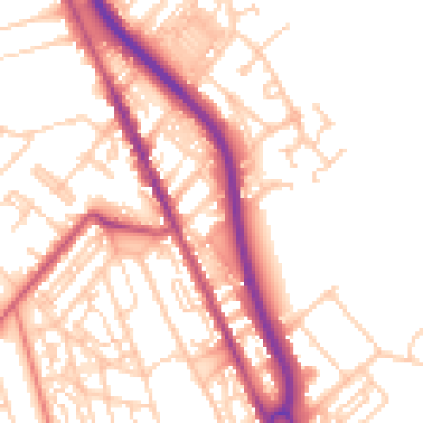
Daytime· 07:00 – 23:00
53.2dB
Night-time· 23:00 – 07:00
43.5dB