13 Bentley Road, Wirral, CH61 9QB
About 13 Bentley Road
13 Bentley Road is an end-of-terrace house in Wirral (CH61 9QB). It has a recorded floor area of 85 m² (around 915 sq ft), construction records dating it to 1950-1966 and council tax band B. The latest certificate (April 2021) shows an E (score 41), well below the UK norm with real room to improve. The recommended improvements would lift it to C (score 79), a 2-band jump. Main heating runs on electricity.
On energy efficiency it sits in the bottom 10% of properties in this postcode — significant headroom for improvement.
Everything you need to know about 13 Bentley Road
The true value, the hidden risks and the full sale history, in one report.
30-day money-back guarantee

The data behind every report


Energy performance
13 Bentley Road sits at the bottom of the postcode for energy efficiency — meaningful headroom to improve.
EPC Rating
Planning history
13 Bentley Road has no planning applications on record.
The full report still covers planning activity across the surrounding area.
Sales history & valuation
13 Bentley Road has no Land Registry sales on file, suggesting it has stayed in the same hands since registration began.
£164,000
Modelled from EPC, postcode comparables.
No sales recorded with HM Land Registry
That can mean the property has never traded since the registry began publishing in 1995, was a new build that hasn't been registered yet, or is held in the same hands long-term.
Median price across the last 5 sales in CH61 9QB: £195,000 (2025–2018).
Versus other Bentley Road homes
On epc rating, 13 Bentley Road runs well behind the street norm.
EPC Rating
41 (E)
Street avg 67 (D)
Floor Area
85 m²
Street avg 89 m²
CO₂ Emissions
8.3 t/year
Street avg 3.6 t/year
Habitable Rooms
5 rooms
Street avg 5 rooms
Everything you need to know about 13 Bentley Road
The true value, the hidden risks and the full sale history, in one report.
30-day money-back guarantee
The data behind every report
Similar properties nearby
1 The Crescent, Pensby
CH61 9QD
1 Bentley Road
CH61 9QB
10 Bentley Road
CH61 9QB
1 Fishers Lane
CH61 9NT
1 Belmont Drive
CH61 9NA
1 Shearman Close
CH61 9PA
1 Kings Drive, Thingwall
CH61 9PX
1 Ryland Park
CH61 9QJ
The neighbourhood at a glance
Daytime road noise here sits well below conversation level — a quiet pocket of the postcode.
Crime
2/mo
Steady year-on-year across the wider district.
Nearest stop
0.2 km
Anderson Close — bus stop.
Closest school
0.7 km
Thingwall Primary School. 14 schools nearby.
Go deeper on the local area
The full report breaks down crime, transport links, schools and air quality in depth.
Road noise across the postcode
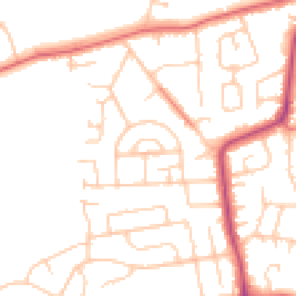
Daytime· 07:00 – 23:00
49.3dB

Night-time· 23:00 – 07:00
39.0dB