8 Antons Road, Wirral, CH61 9PT
About 8 Antons Road
8 Antons Road is a semi-detached house in Wirral (CH61 9PT). It has a recorded floor area of 154 m² (around 1658 sq ft), construction records dating it to 1930-1949 and council tax band C. The latest certificate (May 2023) shows a C (score 69), just inside the C band. The recommended improvements would push it to B (score 82).
At 154 m² the property is well over the postcode median (106 m² across 12 EPCs), placing it in the larger end of the local stock. On energy efficiency it sits in the top 10% of properties in this postcode. One planning record on file: an extension approved in 2003. Past consents include an extension, meaningful when judging how the property has evolved.
Everything you need to know about 8 Antons Road
The true value, the hidden risks and the full sale history, in one report.
30-day money-back guarantee

The data behind every report


Energy performance
8 Antons Road ranks among the most efficient homes in the postcode for energy use.
EPC Rating
Planning history
- May 2003ExtensionFullIn report
Extension: Single storey · Side and rear of property
First floor side extension, and single storey rear extension.
- Documents
- 6 docs on file
- Reference
- APP/03/05562
What's in 8 Antons Road, Wirral, CH61 9PT's planning history?
Refusals, disputes and full decisions on this property and nearby, in the report.
Sales history & valuation
8 Antons Road has no Land Registry sales on file, suggesting it has stayed in the same hands since registration began.
£319,000
Modelled from EPC, postcode comparables.
No sales recorded with HM Land Registry
That can mean the property has never traded since the registry began publishing in 1995, was a new build that hasn't been registered yet, or is held in the same hands long-term.
Median price across the last 5 sales in CH61 9PT: £305,000 (2024–2017).
Versus other Antons Road homes
8 Antons Road outperforms the street on epc rating by a wide margin.
EPC Rating
69 (C)
Street avg 53 (E)
Floor Area
154 m²
Street avg 112 m²
CO₂ Emissions
5.3 t/year
Street avg 6.3 t/year
Habitable Rooms
7 rooms
Street avg 6 rooms
Everything you need to know about 8 Antons Road
The true value, the hidden risks and the full sale history, in one report.
30-day money-back guarantee
The data behind every report
Similar properties nearby
The neighbourhood at a glance
Daytime road noise here sits well below conversation level — a quiet pocket of the postcode.
Crime
2/mo
Steady year-on-year across the wider district.
Nearest stop
0.1 km
Cornelius Drive — bus stop.
Closest school
0.7 km
Thingwall Primary School. 12 schools nearby.
Go deeper on the local area
The full report breaks down crime, transport links, schools and air quality in depth.
Road noise across the postcode
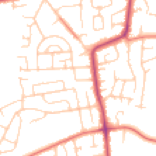
Daytime· 07:00 – 23:00
49.9dB

Night-time· 23:00 – 07:00
39.3dB