27 Antons Road, Wirral, CH61 9PT
About 27 Antons Road
27 Antons Road is a semi-detached house in Wirral (CH61 9PT). It has a recorded floor area of 102 m² (around 1098 sq ft), construction records dating it to 1930-1949 and council tax band C. The latest certificate (January 2014) shows an E (score 53), well below the UK norm with real room to improve. The recommended improvements would lift it to B (score 81), a 3-band jump. The latest certificate is from January 2014, so improvements made since then won't be reflected.
Today's modelled estimate of £284,000 sits 54.3% above the 2014 sale of £184,000. One planning record on file: an extension approved in 2014. Past consents include an extension, meaningful when judging how the property has evolved. Last changed hands 12 years ago, in May 2014.
Everything you need to know about 27 Antons Road
The true value, the hidden risks and the full sale history, in one report.
30-day money-back guarantee

The data behind every report


Energy performance
Recommended upgrades on file would lift this property by multiple EPC bands.
EPC Expired
This certificate is over 10 years old and is no longer valid.Expired 28 Jan 2024
EPC Rating
Planning history
- Oct 2014ExtensionFullIn report
Extension: Side and rear of property
Double extension to side of property and single extension at rear to match existing buildings
- Documents
- 5 docs on file
- Reference
- APP/14/01072
What's in 27 Antons Road, Wirral, CH61 9PT's planning history?
Refusals, disputes and full decisions on this property and nearby, in the report.
Sales history & valuation
27 Antons Road valuation sits well clear of the typical sold price in this postcode.
£284,000
Modelled from EPC, postcode comparables.
£184,000
Recorded with HM Land Registry.
Sales timeline
22 May 2014Most recent
£184,000
Median price across the last 5 sales in CH61 9PT: £305,000 (2024–2017).
Versus other Antons Road homes
Price per m² for 27 Antons Road lags the street by a wide margin.
Price per m²
£1,804
Street avg £2,377
Floor Area
102 m²
Street avg 116 m²
Habitable Rooms
6 rooms
Street avg 6 rooms
CO₂ Emissions
5.3 t/year
Street avg 6.3 t/year
Everything you need to know about 27 Antons Road
The true value, the hidden risks and the full sale history, in one report.
30-day money-back guarantee
The data behind every report
Similar properties nearby
1 Marksway
CH61 9PB
1 Laurelhurst Avenue
CH61 9NY
10 Cestrian Drive
CH61 9PL
10 Beech Avenue, Pensby
CH61 9NU
1 Ryland Park
CH61 9QJ
1 Kings Drive, Thingwall
CH61 9PX
1 Shearman Close
CH61 9PA
1 Belmont Drive
CH61 9NA
The neighbourhood at a glance
Daytime road noise here sits well below conversation level — a quiet pocket of the postcode.
Crime
2/mo
Steady year-on-year across the wider district.
Nearest stop
0.1 km
Cornelius Drive — bus stop.
Closest school
0.7 km
Thingwall Primary School. 12 schools nearby.
Go deeper on the local area
The full report breaks down crime, transport links, schools and air quality in depth.
Road noise across the postcode
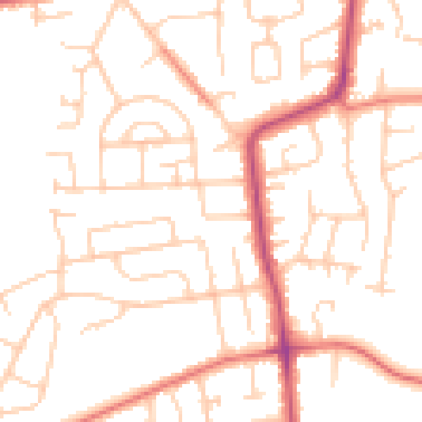
Daytime· 07:00 – 23:00
49.9dB

Night-time· 23:00 – 07:00
39.3dB