4 Wimborne Avenue, Wirral, CH61 7UL
About 4 Wimborne Avenue
4 Wimborne Avenue is a semi-detached house in Wirral (CH61 7UL). It has a recorded floor area of 121 m² (around 1302 sq ft), construction records dating it to 1930-1949 and council tax band C. The latest certificate (January 2018) shows a D (score 66), on the cusp of jumping into the C band. The recommended improvements would push it to C (score 77).
Untraded for 27 years, with the last transfer in February 1999. Only one transfer is on record with HM Land Registry, suggesting it has stayed in the same hands for a long time. At 121 m² the property is well over the postcode median (68 m² across 24 EPCs), placing it in the larger end of the local stock. Today's modelled estimate of £322,000 sits 436.7% above the 1999 sale of £60,000. On a £-per-square-foot basis, the last sale (£46/sq ft) was about 78.9% below the postcode norm.
Everything you need to know about 4 Wimborne Avenue
The true value, the hidden risks and the full sale history, in one report.
30-day money-back guarantee

The data behind every report


Energy performance
EPC Rating
Planning history
4 Wimborne Avenue has no planning applications on record.
The full report still covers planning activity across the surrounding area.
Sales history & valuation
4 Wimborne Avenue's modelled value sits at over four times its earliest registered sale price (1999).
£322,000
Modelled from EPC, postcode comparables.
£60,000
Recorded with HM Land Registry.
Sales timeline
5 February 1999Most recent
£60,000
Median price across the last 5 sales in CH61 7UL: £210,000 (2025–2021).
Nearby sales in CH61 7UL
Versus other Wimborne Avenue homes
Price per m² for 4 Wimborne Avenue lags the street by a wide margin.
Price per m²
£496
Street avg £2,532
Floor Area
121 m²
Street avg 72 m²
Habitable Rooms
6 rooms
Street avg 4 rooms
CO₂ Emissions
4.9 t/year
Street avg 3.4 t/year
Everything you need to know about 4 Wimborne Avenue
The true value, the hidden risks and the full sale history, in one report.
30-day money-back guarantee
The data behind every report
Similar properties nearby
1 Manor Park Close, Thingwall
CH61 7UA
1 Berwyn Avenue, Thingwall
CH61 7UN
1 Lyndhurst Close
CH61 7UH
1 Colemere Drive
CH61 7XS
1 Milton Green
CH61 7YQ
10 Beverley Gardens
CH61 7XU
1 Beverley Gardens
CH61 7XU
1 Beaumaris Drive, Heswall
CH61 7XP
The neighbourhood at a glance
Crime
2/mo
Steady year-on-year across the wider district.
Nearest stop
0.2 km
Sparks Lane — bus stop.
Closest school
0.5 km
Thingwall Primary School. 13 schools nearby.
Go deeper on the local area
The full report breaks down crime, transport links, schools and air quality in depth.
Road noise across the postcode
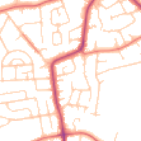
Daytime· 07:00 – 23:00
50.0dB
Night-time· 23:00 – 07:00
39.6dB