11a, Wimborne Avenue, Wirral, CH61 7UL
About 11a
11a is a two-bedroom semi-detached house in Wirral (CH61 7UL). It has a recorded floor area of 69 m² (around 739 sq ft), construction records dating it to 1950-1966 and council tax band C. The latest certificate (December 2011) shows an E (score 40), well below the UK norm with real room to improve. Main heating runs on electricity. The latest certificate is from December 2011, so improvements made since then won't be reflected.
On energy efficiency it sits in the bottom 10% of properties in this postcode — significant headroom for improvement. Last sold in May 2016, so it's been off the market for around 10 years. Across 2012–2016, sale prices on this property compounded at 9.7% per year. Today's modelled estimate of £223,000 is 31.2% above the 2016 sale price.
What this property has
Inside
- Bedrooms2
- Dining roomYes
- Utility roomYes
Outside
- Private gardenRear
- DrivewayYes
Building
- RefurbishedYes
Everything you need to know about 11a
The true value, the hidden risks and the full sale history, in one report.
30-day money-back guarantee

The data behind every report


Energy performance
11a sits at the bottom of the postcode for energy efficiency — meaningful headroom to improve.
EPC Expired
This certificate is over 10 years old and is no longer valid.Expired 12 Dec 2021
EPC Rating
Planning history
11a has no planning applications on record.
The full report still covers planning activity across the surrounding area.
Sales history & valuation
11a valuation sits well clear of the typical sold price in this postcode.
£223,000
Modelled from EPC, postcode comparables and a sale-price growth of 9.7% per year over 4 years.
£170,000
Growth on file: 9.7% per year over 4 years.
Sales timeline
19 May 2016Most recent
£170,000
+45.3%over 4 years10 May 2012
£117,000
Median price across the last 5 sales in CH61 7UL: £210,000 (2025–2021).
Nearby sales in CH61 7UL
Versus other Wimborne Avenue homes
11a is notably below the street on epc rating.
Price per m²
£2,475
Street avg £2,428
Floor Area
69 m²
Street avg 74 m²
Habitable Rooms
4 rooms
Street avg 5 rooms
CO₂ Emissions
7.3 t/year
Street avg 3.3 t/year
Everything you need to know about 11a
The true value, the hidden risks and the full sale history, in one report.
30-day money-back guarantee
The data behind every report
Similar properties nearby
1 Mill Road, Thingwall
CH61 7UT
1 Torrington Gardens
CH61 7US
1 Lilley Croft, Beaumaris Drive, Heswall
CH61 7YB
1 Turmar Avenue
CH61 7XB
1 Hazeldene Way
CH61 7XL
1 Penrhyn Avenue
CH61 7UP
1 Ainsdale Close, Thingwall
CH61 7UJ
10 Beverley Gardens
CH61 7XU
The neighbourhood at a glance
Crime
2/mo
Steady year-on-year across the wider district.
Nearest stop
0.2 km
Sparks Lane — bus stop.
Closest school
0.5 km
Thingwall Primary School. 13 schools nearby.
Go deeper on the local area
The full report breaks down crime, transport links, schools and air quality in depth.
Road noise across the postcode
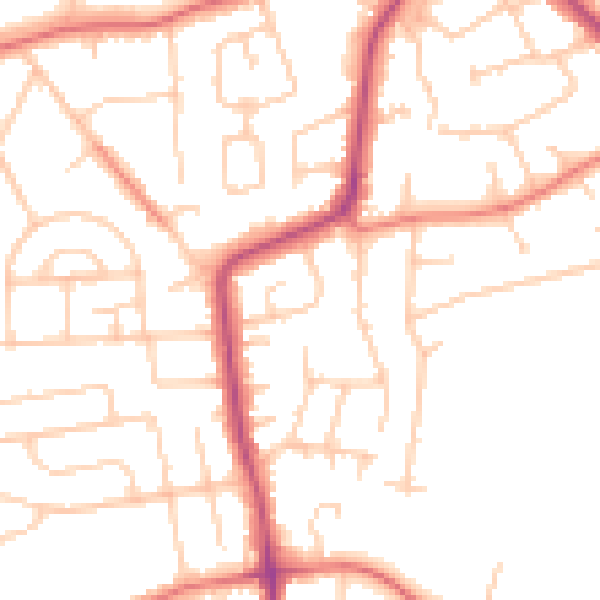
Daytime· 07:00 – 23:00
50.0dB
Night-time· 23:00 – 07:00
39.6dB