3 Fairview Way, Wirral, CH61 6YG
About 3 Fairview Way
3 Fairview Way is an end-of-terrace house in Wirral (CH61 6YG). It has a recorded floor area of 50 m² (around 538 sq ft), construction records dating it to 1950-1966 and council tax band A. At 50 m² this is the 6th smallest of 32 units on EPC record in the building, where floor areas span 42–77 m². The building's EPC ratings span D to C, with this unit at the top. The latest certificate (September 2018) shows a C (score 75), near the top of the C band. The rating has held steady at C across 3 certificates since November 2010. Between certificates, wall efficiency went from Poor to Average.
One historical planning record sits against the property in 2000.
Everything you need to know about 3 Fairview Way
The true value, the hidden risks and the full sale history, in one report.
30-day money-back guarantee

The data behind every report


Energy performance
EPC Rating
Property Improvements
Changes detected from historical EPC data
Cavity wall insulation installed
Heating controls changed
Window efficiency improved
Low energy lighting percentage decreased
Planning history
- Dec 2000OutbuildingFullIn report
Retention of building to house invalid vehicle.
Retrospective- Documents
- 5 docs on file
- Reference
- APP/00/06877
What's in 3 Fairview Way, Wirral, CH61 6YG's planning history?
Refusals, disputes and full decisions on this property and nearby, in the report.
Sales history & valuation
3 Fairview Way has no Land Registry sales on file, suggesting it has stayed in the same hands since registration began.
£143,000
Modelled from EPC, postcode comparables.
No sales recorded with HM Land Registry
That can mean the property has never traded since the registry began publishing in 1995, was a new build that hasn't been registered yet, or is held in the same hands long-term.
Versus other Fairview Way homes
3 Fairview Way is notably below the street on habitable rooms.
EPC Rating
75 (C)
Street avg 75 (C)
Floor Area
50 m²
Street avg 52 m²
CO₂ Emissions
1.6 t/year
Street avg 1.6 t/year
Habitable Rooms
2 rooms
Street avg 3 rooms
Everything you need to know about 3 Fairview Way
The true value, the hidden risks and the full sale history, in one report.
30-day money-back guarantee
The data behind every report
Similar properties nearby
The neighbourhood at a glance
Daytime road noise here sits well below conversation level — a quiet pocket of the postcode.
Crime
2/mo
Steady year-on-year across the wider district.
Nearest stop
0.0 km
Fairview Way — bus stop.
Closest school
0.3 km
Pensby Primary School. 10 schools nearby.
Go deeper on the local area
The full report breaks down crime, transport links, schools and air quality in depth.
Road noise across the postcode
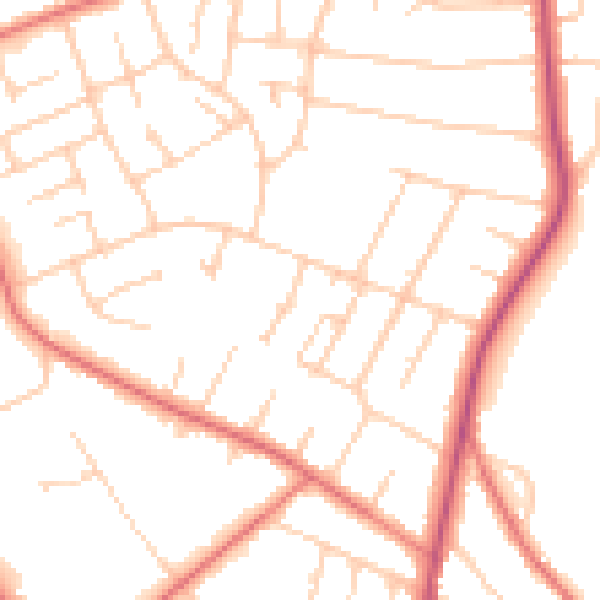
Daytime· 07:00 – 23:00
49.9dB

Night-time· 23:00 – 07:00
39.2dB