21 Frost Drive, Wirral, CH61 4XL
About 21 Frost Drive
21 Frost Drive is a four-bedroom semi-detached house in Wirral (CH61 4XL). It has a recorded floor area of 122 m² (around 1315 sq ft), construction records dating it to 1950-1966 and council tax band D. The latest certificate (August 2010) shows a D (score 63), on the cusp of jumping into the C band. The recommended improvements would push it to C (score 72). The latest certificate is from August 2010, so improvements made since then won't be reflected.
It hasn't traded since May 2011, a hold of 15 years that's notably long for the area. Today's modelled estimate of £337,000 is 46.5% above the 2011 sale price. On a £-per-square-foot basis, the last sale (£175/sq ft) was about 22.2% below the postcode norm.
What this property has
Inside
- Bedrooms4
- Dining roomYes
- EnsuiteYes
Outside
- Private gardenRear
Building
- Heating systemGas
- RefurbishedYes
Everything you need to know about 21 Frost Drive
The true value, the hidden risks and the full sale history, in one report.
30-day money-back guarantee

The data behind every report


Energy performance
21 Frost Drive's EPC is over a decade old — improvements since won't be reflected.
EPC Expired
This certificate is over 10 years old and is no longer valid.Expired 16 Aug 2020
EPC Rating
Planning history
21 Frost Drive has no planning applications on record.
The full report still covers planning activity across the surrounding area.
Sales history & valuation
£337,000
Modelled from EPC, postcode comparables.
£230,000
Recorded with HM Land Registry.
Sales timeline
12 May 2011Most recent
£230,000
Median price across the last 5 sales in CH61 4XL: £330,000 (2025–2022).
Versus other Frost Drive homes
On years held, 21 Frost Drive stands well clear of the street.
Price per m²
£1,883
Street avg £2,482
Floor Area
122 m²
Street avg 125 m²
Habitable Rooms
6 rooms
Street avg 6 rooms
CO₂ Emissions
5.5 t/year
Street avg 5.8 t/year
Everything you need to know about 21 Frost Drive
The true value, the hidden risks and the full sale history, in one report.
30-day money-back guarantee
The data behind every report
Similar properties nearby
1 Eastleigh Drive
CH61 4YA
1 Frost Drive
CH61 4XL
1 Manor Road, Irby
CH61 4UA
1 Hillview Road
CH61 4XH
1 Seaview Avenue, Irby
CH61 4UX
1 Loomsway
CH61 4UD
1 Leachway
CH61 4XJ
1 Devizes Drive
CH61 4YJ
The neighbourhood at a glance
Daytime road noise here sits well below conversation level — a quiet pocket of the postcode.
Crime
2/mo
Steady year-on-year across the wider district.
Nearest stop
0.2 km
Far Meadow Lane — bus stop.
Closest school
0.6 km
Thurstaston Dawpool CofE Primary School. 11 schools nearby.
Go deeper on the local area
The full report breaks down crime, transport links, schools and air quality in depth.
Road noise across the postcode
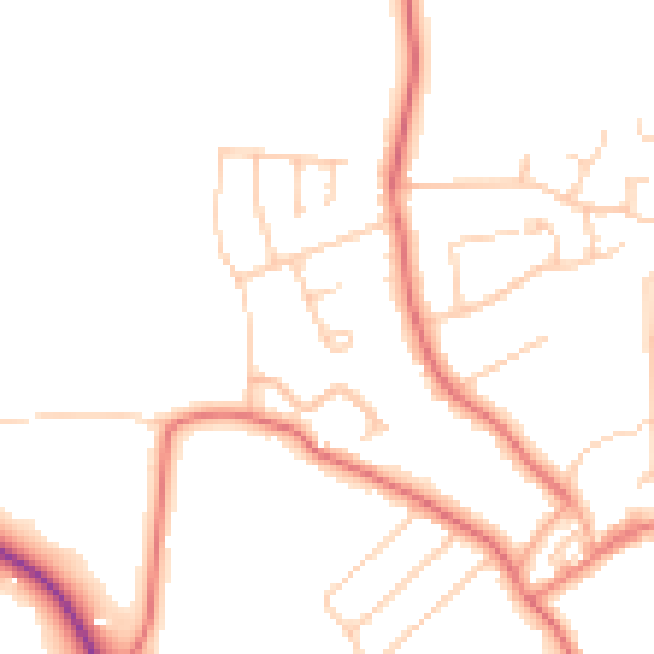
Daytime· 07:00 – 23:00
47.6dB

Night-time· 23:00 – 07:00
38.0dB