128 Barnston Road, Thingwall, Wirral, CH61 1BS
About 128 Barnston Road
128 Barnston Road is a property in Thingwall, Wirral, Wirral (CH61 1BS).
It hasn't traded since September 2006, a hold of 20 years that's notably long for the area.
Everything you need to know about 128 Barnston Road
The true value, the hidden risks and the full sale history, in one report.
30-day money-back guarantee

The data behind every report


Energy performance
No EPC on record
This property doesn't have an Energy Performance Certificate yet. An EPC is required to sell or let — and unlocks our automated valuation.
Planning history
128 Barnston Road has no planning applications on record.
The full report still covers planning activity across the surrounding area.
Sales history & valuation
£340,000
Recorded with HM Land Registry.
Sales timeline
6 September 2006Most recent
£340,000
Everything you need to know about 128 Barnston Road
The true value, the hidden risks and the full sale history, in one report.
30-day money-back guarantee
The data behind every report
Similar properties nearby
The neighbourhood at a glance
Daytime road noise here sits well below conversation level — a quiet pocket of the postcode.
Crime
2/mo
Steady year-on-year across the wider district.
Nearest stop
0.1 km
Holmwood Drive — bus stop.
Closest school
1.0 km
Thingwall Primary School. 11 schools nearby.
Go deeper on the local area
The full report breaks down crime, transport links, schools and air quality in depth.
Road noise across the postcode
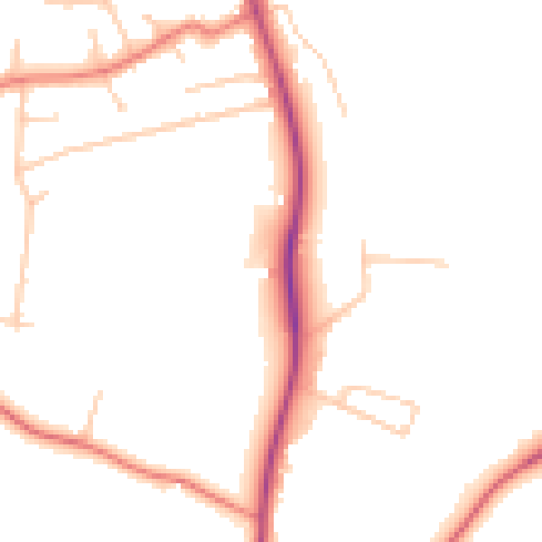
Daytime· 07:00 – 23:00
48.1dB

Night-time· 23:00 – 07:00
39.1dB