East Woodfinlow, Lower Thingwall Lane, Wirral, CH61 1AY
About East Woodfinlow
East Woodfinlow is a detached house in Wirral (CH61 1AY). It has a recorded floor area of 81 m² (around 872 sq ft) and construction records dating it to before 1900. The latest certificate (June 2023) shows a G (score 13), near the bottom of the EPC scale. Earlier certificates rated it D (November 2012); the latest reading is 3 bands lower. Between certificates, wall efficiency dropped from Good to Very Poor and roof efficiency dropped from Average to Very Poor. The recommended improvements would lift it to C (score 76), a 4-band jump. Main heating runs on electricity.
One planning record on file: an extension approved in 2015. Past consents include an extension, meaningful when judging how the property has evolved.
Everything you need to know about East Woodfinlow
The true value, the hidden risks and the full sale history, in one report.
30-day money-back guarantee

The data behind every report


Energy performance
East Woodfinlow's carbon output runs well above what efficient homes in the postcode produce.
EPC Rating
Property Improvements
Changes detected from historical EPC data
Heating system changed
Changed to a more efficient fuel source
Heating controls changed
Hot water system changed
Planning history
- Sept 2015ExtensionFullIn report
Extension: Two storey
Two Storey Extension & Orangery
- Agent
- KJP Architecture
- Documents
- 8 docs on file
- Reference
- APP/15/01001
What's in East Woodfinlow, Lower Thingwall Lane, Wirral, CH61 1AY's planning history?
Refusals, disputes and full decisions on this property and nearby, in the report.
Sales history & valuation
East Woodfinlow has no Land Registry sales on file, suggesting it has stayed in the same hands since registration began.
£285,000
Modelled from EPC, postcode comparables.
No sales recorded with HM Land Registry
That can mean the property has never traded since the registry began publishing in 1995, was a new build that hasn't been registered yet, or is held in the same hands long-term.
Everything you need to know about East Woodfinlow
The true value, the hidden risks and the full sale history, in one report.
30-day money-back guarantee
The data behind every report
Similar properties nearby
The neighbourhood at a glance
Daytime road noise here sits well below conversation level — a quiet pocket of the postcode.
Crime
2/mo
Steady year-on-year across the wider district.
Nearest stop
0.2 km
Lower Thingwall Lane — bus stop.
Closest school
0.9 km
Thingwall Primary School. 12 schools nearby.
Go deeper on the local area
The full report breaks down crime, transport links, schools and air quality in depth.
Road noise across the postcode
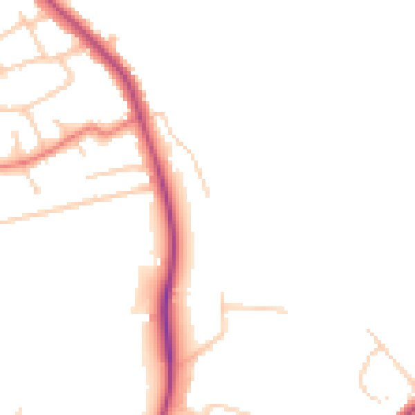
Daytime· 07:00 – 23:00
47.4dB

Night-time· 23:00 – 07:00
38.9dB