8 Harefields Way, Wirral, CH49 4SB
EPC B
About 8 Harefields Way
A plain-English summary derived from public records, EPC certificates, sold prices and local data.
8 Harefields Way is a detached house in Wirral (CH49 4SB). It has a recorded floor area of 115 m² (around 1238 sq ft). The latest certificate (June 2018) returns a B (score 84), comfortably above the UK average. The recommended improvements would push it to A (score 93).
Sale prices here have outpaced Wirral HPI: 2.6% per year against 0% for the wider region. On a £-per-square-foot basis, the last sale (£279/sq ft) was about 20.7% above the typical sold price in the postcode. 2 planning records sit against the property, 2 approved, 0 refused. Past consents include an extension and a porch, meaningful when judging how the property has evolved. Most recent transfer: June 2024 at £345,000.
Energy performance
Every EPC certificate filed against this property — current rating, recorded improvements, and where there's headroom to reach a higher band.
EPC Rating
A
B
B84
C
D
E
F
G
Main Heating
Gas
Main Fuel
Gas
Hot Water
Very Good
Windows
Very Good
CO2 Emissions
1.7 t/year
Occupancy
—
Planning history
Applications and permits filed against 8 Harefields Way, Wirral, CH49 4SB, sourced from the PlanIt planning register.
8 Harefields Way has been extended on multiple sides of the property across separate planning applications.
- Feb 2020PorchFullApprove
Extension: Front of property
Erection of a porch at the front of the premises.
Sales history & valuation
Recorded transactions, our model's current estimate, and a quick read on what neighbouring properties have sold for.
Latest sale on 8 Harefields Way was the highest on Land Registry record across the postcode.
Current estimate
See how we calculated this£360,000
Modelled from EPC, postcode comparables and a sale-price growth of 2.6% per year over 5 years.
Last sold (2024)
£345,000
Growth on file: 2.6% per year over 5 years.
Sales timeline
Launch offer · 33% off
The complete analysis of 8 Harefields Way, Wirral, CH49 4SB
Everything we know about this property, compiled into one in-depth, downloadable report.
Detailed analysis
A written breakdown of everything that matters
Versus other Harefields Way homes
Four headline reads against 29 similar houses on this street, drawn from the latest EPC and Land Registry data.
8 Harefields Way outperforms the street on price per m² by a wide margin.
Price per m²
£3,000
Street avg £2,469
Floor Area
115 m²
Street avg 118 m²
CO₂ Emissions
1.7 t/year
Similar properties nearby
A handful of close matches in the same postcode area, ranked by likeness on bedrooms, type and floor area.
The neighbourhood at a glance
A condensed read of the local area. Each tile links through to the full breakdown on the Wirral district page.
Crime
4/mo
Steady year-on-year across the wider district.
Nearest stop
0.1 km
Croft Drive — bus stop.
Road noise across the postcode
Modelled day and night-time noise levels around CH49 4SB from Defra's strategic mapping. The pin marks this postcode's centroid.
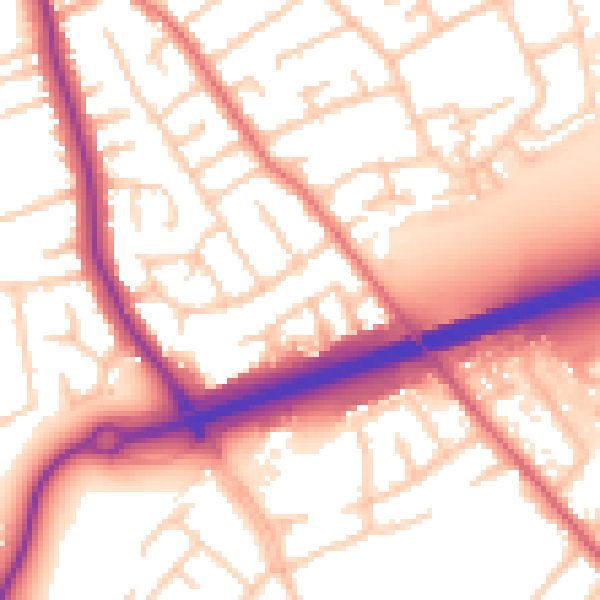
Daytime· 07:00 – 23:00
56.1dB

Everything within walking distance
Schools, transport stops and scenic spots near this property — 56 points of interest in total.
Common questions
The questions buyers, sellers and homeowners most often ask about 8 Harefields Way, Wirral, CH49 4SB. Each answer is also embedded as structured data for search engines.
