4 Garfield Terrace, Wirral, CH49 0TR
4 sales on record
About 4 Garfield Terrace
A plain-English summary derived from public records, EPC certificates, sold prices and local data.
4 Garfield Terrace is a mid-terrace house in Wirral (CH49 0TR). It has a recorded floor area of 96 m² (around 1033 sq ft), construction records dating it to 1900-1929 and council tax band A. The latest certificate (May 2015) shows a D (score 60), on the cusp of jumping into the C band. The recommended improvements would push it to C (score 78). The latest certificate is from May 2015, so improvements made since then won't be reflected.
At 96 m² the property is well over the postcode median (71 m² across 6 EPCs), placing it in the larger end of the local stock. Sale prices here have lagged Wirral HPI: -0.8% per year against 0% for the wider region. Today's modelled estimate of £183,000 is 35.6% above the 2020 sale price. On a £-per-square-foot basis, the last sale (£131/sq ft) was about 19.2% below the postcode norm. Last sale on file: £135,000 in April 2020. Across the public record there are 4 sales, relatively high churn for a single property.
Energy performance
Every EPC certificate filed against this property — current rating, recorded improvements, and where there's headroom to reach a higher band.
4 Garfield Terrace's EPC is over a decade old — improvements since won't be reflected.
EPC Expired
This certificate is over 10 years old and is no longer valid.Expired 17 May 2025
Planning history
Applications and permits filed against 4 Garfield Terrace, Wirral, CH49 0TR, sourced from the PlanIt planning register.
No planning applications are recorded against 4 Garfield Terrace, Wirral, CH49 0TR. The full report also covers planning activity across the surrounding area.
Full planning data for 4 Garfield Terrace, Wirral, CH49 0TR
Every application and decision on this property and nearby, in full, in the report.
Sales history & valuation
Recorded transactions, our model's current estimate, and a quick read on what neighbouring properties have sold for.
4 Garfield Terrace's sale-price growth has lagged the wider UK trajectory across its history on file.
Current estimate
See how we calculated this£183,000
Modelled from EPC, postcode comparables and a sale-price growth of -0.8% per year over 12 years.
Last sold (2020)
£135,000
Growth on file: -0.8% per year over 12 years.
Sales timeline
Launch offer · 33% off
The complete analysis of 4 Garfield Terrace, Wirral, CH49 0TR
Everything we know about this property, compiled into one in-depth, downloadable report.
Detailed analysis
A written breakdown of everything that matters
Versus other Garfield Terrace homes
Four headline reads against 6 similar houses on this street, drawn from the latest EPC and Land Registry data.
On co₂ emissions, 4 Garfield Terrace runs well behind the street norm.
Price per m²
£1,406
Street avg £1,834
Floor Area
96 m²
Street avg 84 m²
Habitable Rooms
4 rooms
Similar properties nearby
A handful of close matches in the same postcode area, ranked by likeness on bedrooms, type and floor area.
The neighbourhood at a glance
A condensed read of the local area. Each tile links through to the full breakdown on the Wirral district page.
Rail-style transport is unusually close for this postcode.
Crime
4/mo
Steady year-on-year across the wider district.
Nearest stop
0.1 km
Salacre Lane — bus stop.
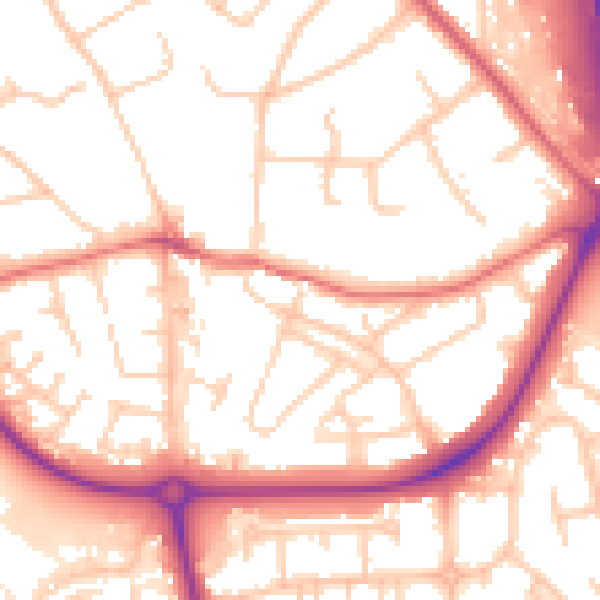
Road noise across the postcode
Modelled day and night-time noise levels around CH49 0TR from Defra's strategic mapping. The pin marks this postcode's centroid.
Daytime· 07:00 – 23:00
54.6dB

Everything within walking distance
Schools, transport stops and scenic spots near this property — 57 points of interest in total.
Common questions
The questions buyers, sellers and homeowners most often ask about 4 Garfield Terrace, Wirral, CH49 0TR. Each answer is also embedded as structured data for search engines.
