1a, Pasture Avenue, Wirral, CH46 8SG
About 1a
1a is a detached house in Wirral (CH46 8SG). It has a recorded floor area of 99 m² (around 1066 sq ft), construction records dating it to 1930-1949 and council tax band A. The latest certificate (April 2019) shows a D (score 56), a step below the typical UK home. The recommended improvements would lift it to B (score 81), a 2-band jump.
At 99 m² the property is well over the postcode median (57 m² across 24 EPCs), placing it in the larger end of the local stock. 2 planning records sit against the property, 2 approved, 0 refused. Past consents include new windows, an extension and partial demolition, meaningful when judging how the property has evolved. Today's modelled estimate of £224,000 is 25.8% above the 2019 sale price. On a £-per-square-foot basis, the last sale (£167/sq ft) was about 65.6% above the typical sold price in the postcode. Sold July 2019 for £178,000.
Know exactly what you're buying at 1a
Before you offer, see what the listing won't tell you, the true value, the red flags and the full history.
Valuation
against the asking price
Risks
planning & flood
Sold prices
similar homes nearby
Trends
the local market
Energy performance
Recommended upgrades on file would lift this property by multiple EPC bands.
EPC Rating
Planning history
Planning history includes recorded demolition works, indicating a major rebuild phase at this address.
- Jun 2019Change Of UseFullIn report
Retrospective application for change of use from hairdressers with flat above to 1no. residential dwelling. Alteration to front bay window
RetrospectiveNew Windows- Documents
- 6 docs on file
- Reference
- APP/19/00536
- Jul 2014DemolitionFullIn report
Proposed change of use from vacant hairdresser salon with living accommodation on first floor, to create 2no. residential dwellings. Demolition of existing detached garage and extension of front curtilage with associated hard and soft landscaping
- Agent
- Paddock Johnson Partnership
Extension- Documents
- 10 docs on file
- Reference
- APP/14/00713
What's in 1a, Pasture Avenue, Wirral, CH46 8SG's planning history?
Refusals, disputes and full decisions on this property and nearby, in the report.
Sales history & valuation
Latest sale on 1a was the highest on Land Registry record across the postcode.
£224,000
Modelled from EPC, postcode comparables.
£178,000
Recorded with HM Land Registry.
Sales timeline
31 July 2019Most recent
£178,000
Median price across the last 5 sales in CH46 8SG: £112,000 (2023–2018).
Nearby sales in CH46 8SG
Everything we know about 1a, in one report
What it's really worth, what could be wrong, and the planning, sales and area data in full.
- Am I paying too much?
- Is something wrong with it?
- Is the agent's story true?
- Will it hold its value?

Versus other Pasture Avenue homes
On floor area, 1a stands well clear of the street.
Price per m²
£1,798
Street avg £1,420
Floor Area
99 m²
Street avg 61 m²
Habitable Rooms
6 rooms
Street avg 3 rooms
CO₂ Emissions
5.2 t/year
Street avg 2.8 t/year
Similar properties nearby
The neighbourhood at a glance
Rail-style transport is unusually close for this postcode.
Crime
4/mo
Rising year-on-year across the wider district.
Nearest stop
0.1 km
Ivy Lane — bus stop.
Closest school
0.4 km
Eastway Primary School. 16 schools nearby.
Go deeper on the local area
The full report breaks down crime, transport links, schools and air quality in depth.
Road noise across the postcode
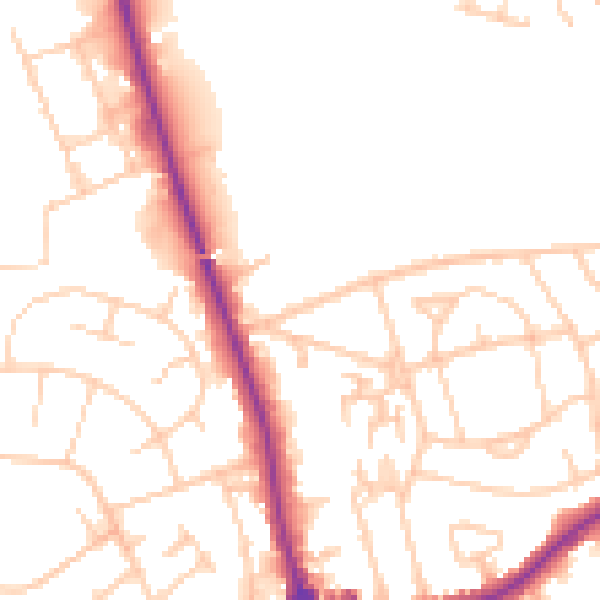
Daytime· 07:00 – 23:00
51.4dB

Night-time· 23:00 – 07:00
41.3dB