11 Flaxhill, Wirral, CH46 7UH
About 11 Flaxhill
11 Flaxhill is a semi-detached house in Wirral (CH46 7UH). It has a recorded floor area of 101 m² (around 1087 sq ft), construction records dating it to 1950-1966 and council tax band A. The latest certificate (June 2015) shows a D (score 62), on the cusp of jumping into the C band. The rating has held steady at D across 2 certificates since March 2015. The recommended improvements would lift it to B (score 84), a 2-band jump. The latest certificate is from June 2015, so improvements made since then won't be reflected.
Held since November 1998 — that's 28 years off the open market, well above the local norm. Only one transfer is on record with HM Land Registry, suggesting it has stayed in the same hands for a long time. Today's modelled estimate of £201,000 sits 337% above the 1998 sale of £46,000. On a £-per-square-foot basis, the last sale (£42/sq ft) was about 65.3% below the postcode norm. One planning record on file: an extension approved in 2003. Past consents include an extension and a porch, meaningful when judging how the property has evolved.
Know exactly what you're buying at 11 Flaxhill
Before you offer, see what the listing won't tell you, the true value, the red flags and the full history.
Valuation
against the asking price
Risks
planning & flood
Sold prices
similar homes nearby
Trends
the local market
Energy performance
Recommended upgrades on file would lift this property by multiple EPC bands.
EPC Expired
This certificate is over 10 years old and is no longer valid.Expired 03 Jun 2025
EPC Rating
Planning history
- Mar 2003PorchFullIn report
Extension: Single storey · Side of property
Erection of single-storey extension to side of property and erection of tiled roof across existing front porch and bay window.
Extension- Documents
- 4 docs on file
- Reference
- APP/03/05051
What's in 11 Flaxhill, Wirral, CH46 7UH's planning history?
Refusals, disputes and full decisions on this property and nearby, in the report.
Sales history & valuation
11 Flaxhill's modelled value sits at over four times its earliest registered sale price (1998).
£201,000
Modelled from EPC, postcode comparables.
£46,000
Recorded with HM Land Registry.
Sales timeline
27 November 1998Most recent
£46,000
Median price across the last 5 sales in CH46 7UH: £165,000 (2024–2021).
Everything we know about 11 Flaxhill, in one report
What it's really worth, what could be wrong, and the planning, sales and area data in full.
- Am I paying too much?
- Is something wrong with it?
- Is the agent's story true?
- Will it hold its value?

Versus other Flaxhill homes
Price per m² for 11 Flaxhill lags the street by a wide margin.
Price per m²
£455
Street avg £1,514
Floor Area
101 m²
Street avg 92 m²
Habitable Rooms
5 rooms
Street avg 5 rooms
CO₂ Emissions
4.6 t/year
Street avg 4.3 t/year
Similar properties nearby
The neighbourhood at a glance
Rail-style transport is unusually close for this postcode.
Crime
4/mo
Rising year-on-year across the wider district.
Nearest stop
0.1 km
Flaxhill — bus stop.
Closest school
0.1 km
Lingham Primary School. 17 schools nearby.
Go deeper on the local area
The full report breaks down crime, transport links, schools and air quality in depth.
Road noise across the postcode
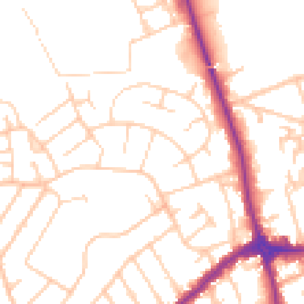
Daytime· 07:00 – 23:00
51.3dB

Night-time· 23:00 – 07:00
40.8dB