11 Carr Gate, Wirral, CH46 6EQ
About 11 Carr Gate
11 Carr Gate is a three-bedroom semi-detached house in Wirral (CH46 6EQ). It has a recorded floor area of 89 m² (around 958 sq ft), construction records dating it to 1967-1975 and council tax band B. The latest certificate (April 2019) shows a C (score 72). The recommended improvements would push it to B (score 85).
Across 2001–2019, sale prices on this property compounded at 5.6% per year. Today's modelled estimate of £233,000 is 49.4% above the 2019 sale price. Last sale on file: £156,000 in July 2019.
Know exactly what you're buying at 11 Carr Gate
Before you offer, see what the listing won't tell you, the true value, the red flags and the full history.
Valuation
against the asking price
Risks
planning & flood
Sold prices
similar homes nearby
Trends
the local market
What this property has
Inside
- Bedrooms3
- Bathrooms1
- Open-plan layoutYes
- Dining roomYes
Outside
- Private gardenYes
- ParkingOff road
Building
- RefurbishedYes
Energy performance
EPC Rating
Planning history
11 Carr Gate has no planning applications on record.
The full report still covers planning activity across the surrounding area.
Sales history & valuation
11 Carr Gate has more than doubled in price since the earliest registered sale in 2001.
£233,000
Modelled from EPC, postcode comparables and a sale-price growth of 5.6% per year over 18 years.
£156,000
Growth on file: 5.6% per year over 18 years.
Sales timeline
21 July 2019Most recent
£156,000
+7.6%over 13 years18 June 2006
£144,950
+141.8%over 4 years9 November 2001
£59,950
Median price across the last 5 sales in CH46 6EQ: £216,000 (2025–2023).
Everything we know about 11 Carr Gate, in one report
What it's really worth, what could be wrong, and the planning, sales and area data in full.
- Am I paying too much?
- Is something wrong with it?
- Is the agent's story true?
- Will it hold its value?

Versus other Carr Gate homes
Price per m²
£1,753
Street avg £1,825
Floor Area
89 m²
Street avg 98 m²
Habitable Rooms
5 rooms
Street avg 5 rooms
CO₂ Emissions
2.9 t/year
Street avg 3.6 t/year
Similar properties nearby
The neighbourhood at a glance
Reported crime in the wider district is trending notably upward year-on-year.
Crime
4/mo
Rising year-on-year across the wider district.
Nearest stop
0.1 km
Millhouse Lane — bus stop.
Closest school
1.0 km
Lingham Primary School. 15 schools nearby.
Go deeper on the local area
The full report breaks down crime, transport links, schools and air quality in depth.
Road noise across the postcode
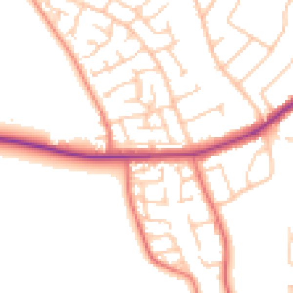
Daytime· 07:00 – 23:00
50.8dB

Night-time· 23:00 – 07:00
40.7dB