7 Castlegrange Close, Wirral, CH46 3SX
About 7 Castlegrange Close
7 Castlegrange Close is a two-bedroom semi-detached house in Wirral (CH46 3SX). It has a recorded floor area of 56 m² (around 603 sq ft), construction records dating it to 1983-1990 and council tax band C. The latest certificate (February 2020) shows a C (score 73). The recommended improvements would push it to B (score 89). The home occupies a corner plot.
Today's modelled estimate of £202,000 is 47.4% above the 2020 sale price. On a £-per-square-foot basis, the last sale (£227/sq ft) was about 51.7% above the typical sold price in the postcode. Last sale on file: £137,000 in August 2020.
Know exactly what you're buying at 7 Castlegrange Close
Before you offer, see what the listing won't tell you, the true value, the red flags and the full history.
Valuation
against the asking price
Risks
planning & flood
Sold prices
similar homes nearby
Trends
the local market
What this property has
Inside
- Bedrooms2
- Bathrooms1
Outside
- GarageYes
- Corner plotYes
Building
- RefurbishedYes
Energy performance
EPC Rating
Planning history
7 Castlegrange Close has no planning applications on record.
The full report still covers planning activity across the surrounding area.
Sales history & valuation
The latest sale landed in the post-pandemic price surge — useful context when reading the figure.
£202,000
Modelled from EPC, postcode comparables.
£137,000
Recorded with HM Land Registry.
Sales timeline
24 August 2020Most recent
£137,000
Median price across the last 5 sales in CH46 3SX: £185,000 (2024–2021).
Nearby sales in CH46 3SX
Everything we know about 7 Castlegrange Close, in one report
What it's really worth, what could be wrong, and the planning, sales and area data in full.
- Am I paying too much?
- Is something wrong with it?
- Is the agent's story true?
- Will it hold its value?

Versus other Castlegrange Close homes
On co₂ emissions, 7 Castlegrange Close stands well clear of the street.
Price per m²
£2,446
Street avg £2,236
Floor Area
56 m²
Street avg 62 m²
Habitable Rooms
4 rooms
Street avg 4 rooms
CO₂ Emissions
1.8 t/year
Street avg 2.6 t/year
Similar properties nearby
1 Castleford Rise
CH46 3SP
1 Findley Drive
CH46 3SG
1 Farnworth Avenue
CH46 3SE
1 Castlegrange Close
CH46 3SX
10 Castleheath Close
CH46 3SL
10 Castlegrange Close
CH46 3SX
1 Castleheath Close
CH46 3SL
1 The Beeches
CH46 3SN
The neighbourhood at a glance
Rail-style transport is unusually close for this postcode.
Crime
4/mo
Rising year-on-year across the wider district.
Nearest stop
0.2 km
Reeds Lane — bus stop.
Closest school
0.7 km
Castleway Primary School. 14 schools nearby.
Go deeper on the local area
The full report breaks down crime, transport links, schools and air quality in depth.
Road noise across the postcode
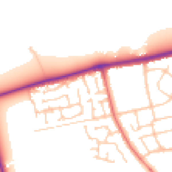
Daytime· 07:00 – 23:00
52.1dB

Night-time· 23:00 – 07:00
42.6dB