52 Ross Avenue, Wirral, CH46 2SB
About 52 Ross Avenue
52 Ross Avenue is a three-bedroom mid-terrace house in Wirral (CH46 2SB). It has a recorded floor area of 82 m² (around 883 sq ft), construction records dating it to 1930-1949 and council tax band A. The latest certificate (April 2018) shows a C (score 69), just inside the C band. The recommended improvements would push it to B (score 85).
Across 1996–2019, sale prices on this property compounded at 6% per year. Today's modelled estimate of £158,000 sits 58% above the 2019 sale of £100,000. Its energy rating outperforms most of the postcode (better than 78% of similar EPCs). Last sale on file: £100,000 in April 2019.
Know exactly what you're buying at 52 Ross Avenue
Before you offer, see what the listing won't tell you, the true value, the red flags and the full history.
Valuation
against the asking price
Risks
planning & flood
Sold prices
similar homes nearby
Trends
the local market
What this property has
Inside
- Bedrooms3
- Bathrooms1
Outside
- Private gardenFront and rear
Building
- RefurbishedYes
Energy performance
EPC Rating
Planning history
52 Ross Avenue has no planning applications on record.
The full report still covers planning activity across the surrounding area.
Sales history & valuation
52 Ross Avenue has more than tripled in price since its earliest registered sale in 1996.
£158,000
Modelled from EPC, postcode comparables and a sale-price growth of 6.0% per year over 23 years.
£100,000
Growth on file: 6.0% per year over 23 years.
Sales timeline
25 April 2019Most recent
£100,000
+284.6%over 23 years11 April 1996
£26,000
Median price across the last 5 sales in CH46 2SB: £85,000 (2022–2008).
Everything we know about 52 Ross Avenue, in one report
What it's really worth, what could be wrong, and the planning, sales and area data in full.
- Am I paying too much?
- Is something wrong with it?
- Is the agent's story true?
- Will it hold its value?

Versus other Ross Avenue homes
52 Ross Avenue outperforms the street on price per m² by a wide margin.
Price per m²
£1,220
Street avg £1,056
Floor Area
82 m²
Street avg 87 m²
Habitable Rooms
5 rooms
Street avg 5 rooms
CO₂ Emissions
3.1 t/year
Street avg 3.6 t/year
Similar properties nearby
1 Frobisher Road, Moreton
CH46 2RB
10 Hudson Road
CH46 2QQ
10 Meadowside
CH46 2RL
10 Frobisher Road, Moreton
CH46 2RD
10 Leasoweside
CH46 2RW
10 Gardenside
CH46 2RR
10 Kingham Close
CH46 2PN
10 Livingstone Road
CH46 2QR
The neighbourhood at a glance
Rail-style transport is unusually close for this postcode.
Crime
4/mo
Rising year-on-year across the wider district.
Nearest stop
0.1 km
No. 22 — bus stop.
Closest school
0.5 km
Holy Spirit Catholic and Church of England Primary School. 23 schools nearby.
Go deeper on the local area
The full report breaks down crime, transport links, schools and air quality in depth.
Road noise across the postcode
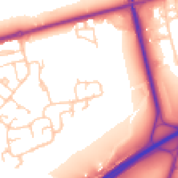
Daytime· 07:00 – 23:00
56.6dB

Night-time· 23:00 – 07:00
47.5dB