4 Poppy Close, Wirral, CH46 1SL
About 4 Poppy Close
4 Poppy Close is a detached house in Wirral (CH46 1SL). It has a recorded floor area of 91 m² (around 980 sq ft), construction records dating it to 1996-2002 and council tax band D. The latest certificate (May 2014) shows a D (score 64), on the cusp of jumping into the C band. The recommended improvements would lift it to B (score 81), a 2-band jump. The latest certificate is from May 2014, so improvements made since then won't be reflected.
It hasn't traded since December 1999, a hold of 27 years that's notably long for the area. Only one transfer is on record with HM Land Registry, suggesting it has stayed in the same hands for a long time. Today's modelled estimate of £252,000 sits 239.8% above the 1999 sale of £74,160. On a £-per-square-foot basis, the last sale (£76/sq ft) was about 39.9% below the postcode norm. At 91 m² it's 23% larger than the typical home in the postcode (74 m² median across 3 EPCs).
Know exactly what you're buying at 4 Poppy Close
Before you offer, see what the listing won't tell you, the true value, the red flags and the full history.
Valuation
against the asking price
Risks
planning & flood
Sold prices
similar homes nearby
Trends
the local market
Energy performance
Recommended upgrades on file would lift this property by multiple EPC bands.
EPC Expired
This certificate is over 10 years old and is no longer valid.Expired 19 May 2024
EPC Rating
Planning history
4 Poppy Close has no planning applications on record.
The full report still covers planning activity across the surrounding area.
Sales history & valuation
4 Poppy Close's estimated value is more than triple its earliest registered sale price (1999).
£252,000
Modelled from EPC, postcode comparables.
£74,160
Recorded with HM Land Registry.
Sales timeline
3 December 1999Most recent
£74,160
Median price across the last 5 sales in CH46 1SL: £149,950 (2022–2006).
Everything we know about 4 Poppy Close, in one report
What it's really worth, what could be wrong, and the planning, sales and area data in full.
- Am I paying too much?
- Is something wrong with it?
- Is the agent's story true?
- Will it hold its value?

Versus other Poppy Close homes
4 Poppy Close is notably below the street on price per m².
Price per m²
£815
Street avg £1,725
Floor Area
91 m²
Street avg 84 m²
Habitable Rooms
5 rooms
Street avg 4 rooms
CO₂ Emissions
3.9 t/year
Street avg 2.7 t/year
Similar properties nearby
1 Daneswell Drive
CH46 1QD
1 Cheltenham Crescent, Moreton
CH46 1PU
1 Willow Moss Close
CH46 1SR
1 Bullrush Drive
CH46 1SX
1 Dunstall Close, Moreton
CH46 1PX
1 Cornflower Way
CH46 1SU
1 Aintree Close, Moreton
CH46 1PZ
1 Hyacinth Grove
CH46 1SW
The neighbourhood at a glance
Rail-style transport is unusually close for this postcode.
Crime
4/mo
Rising year-on-year across the wider district.
Nearest stop
0.2 km
Leasowe Station — bus stop.
Closest school
0.3 km
Sacred Heart Catholic Primary School. 23 schools nearby.
Go deeper on the local area
The full report breaks down crime, transport links, schools and air quality in depth.
Road noise across the postcode
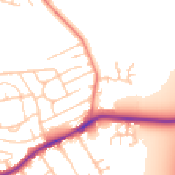
Daytime· 07:00 – 23:00
52.6dB

Night-time· 23:00 – 07:00
42.8dB