10 Burrell Drive, Wirral, CH46 0TF
About 10 Burrell Drive
10 Burrell Drive is a three-bedroom semi-detached house in Wirral (CH46 0TF). It has a recorded floor area of 100 m² (around 1076 sq ft), construction records dating it to 1900-1929 and council tax band B. The latest certificate (June 2013) shows an E (score 50), well below the UK norm with real room to improve. The recommended improvements would lift it to C (score 71), a 2-band jump. The latest certificate is from June 2013, so improvements made since then won't be reflected.
Today's modelled estimate of £207,000 sits 65.6% above the 2013 sale of £125,000. On a £-per-square-foot basis, the last sale (£116/sq ft) was about 15.5% below the postcode norm. At 100 m² it's 17.5% larger than the typical home in the postcode (85 m² median across 14 EPCs). It lags the bulk of the postcode on energy efficiency (less efficient than 71% of similar EPCs). On the market in December 2013 and unlisted since — roughly 12 years.
Know exactly what you're buying at 10 Burrell Drive
Before you offer, see what the listing won't tell you, the true value, the red flags and the full history.
Valuation
against the asking price
Risks
planning & flood
Sold prices
similar homes nearby
Trends
the local market
What this property has
Inside
- Bedrooms3
Outside
- Private gardenRear
- ParkingOff road
Building
- Heating systemGas
Energy performance
10 Burrell Drive's carbon output runs well above what efficient homes in the postcode produce.
EPC Expired
This certificate is over 10 years old and is no longer valid.Expired 05 Jun 2023
EPC Rating
Planning history
10 Burrell Drive has no planning applications on record.
The full report still covers planning activity across the surrounding area.
Sales history & valuation
10 Burrell Drive valuation sits well clear of the typical sold price in this postcode.
£207,000
Modelled from EPC, postcode comparables.
£125,000
Recorded with HM Land Registry.
Sales timeline
13 December 2013Most recent
£125,000
Median price across the last 5 sales in CH46 0TF: £175,000 (2025–2015).
Everything we know about 10 Burrell Drive, in one report
What it's really worth, what could be wrong, and the planning, sales and area data in full.
- Am I paying too much?
- Is something wrong with it?
- Is the agent's story true?
- Will it hold its value?

Versus other Burrell Drive homes
On epc rating, 10 Burrell Drive runs well behind the street norm.
Price per m²
£1,250
Street avg £1,738
Floor Area
100 m²
Street avg 88 m²
Habitable Rooms
5 rooms
Street avg 5 rooms
CO₂ Emissions
6.0 t/year
Street avg 4.2 t/year
Similar properties nearby
1 Almond Place
CH46 0QD
1 Cranbourne Avenue, Moreton
CH46 0RH
1 Briscoe Drive
CH46 0TN
1 Altcar Drive
CH46 0RJ
1 Cobham Road
CH46 0QZ
1 Kingston Close
CH46 0TR
1 Levens Hey
CH46 0UG
1 Inglewood Avenue
CH46 0SB
The neighbourhood at a glance
Reported crime in the wider district is trending notably upward year-on-year.
Crime
4/mo
Rising year-on-year across the wider district.
Nearest stop
0.1 km
Burrell Drive — bus stop.
Closest school
0.5 km
Moreton Christ Church CofE Primary School. 23 schools nearby.
Go deeper on the local area
The full report breaks down crime, transport links, schools and air quality in depth.
Road noise across the postcode
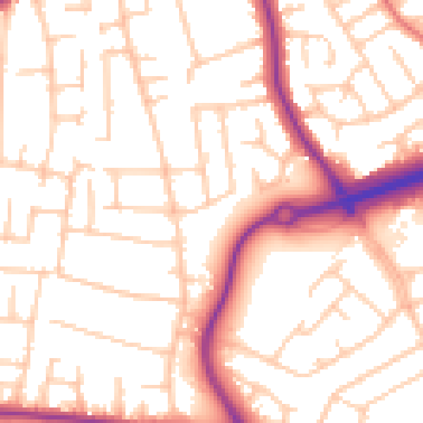
Daytime· 07:00 – 23:00
53.5dB

Night-time· 23:00 – 07:00
43.4dB