15 Inglewood Avenue, Wirral, CH46 0SB
About 15 Inglewood Avenue
15 Inglewood Avenue is a semi-detached house in Wirral (CH46 0SB). It has a recorded floor area of 48 m² (around 517 sq ft), construction records dating it to 1930-1949 and council tax band B. The latest certificate (March 2014) shows an E (score 44), well below the UK norm with real room to improve. The recommended improvements would lift it to B (score 91), a 3-band jump. The latest certificate is from March 2014, so improvements made since then won't be reflected.
Untraded for 21 years, with the last transfer in May 2005. At 48 m² it sits well below the postcode median (72 m² across 8 EPCs), making it one of the more compact homes locally. One planning record on file: an extension approved in 2017. Past consents include an extension, meaningful when judging how the property has evolved. Across 1999–2005, sale prices on this property compounded at 21.9% per year. Today's modelled estimate of £163,000 is 40.5% above the 2005 sale price. On a £-per-square-foot basis, the last sale (£225/sq ft) was about 34.9% above the typical sold price in the postcode.
Know exactly what you're buying at 15 Inglewood Avenue
Before you offer, see what the listing won't tell you, the true value, the red flags and the full history.
Valuation
against the asking price
Risks
planning & flood
Sold prices
similar homes nearby
Trends
the local market
Energy performance
Recommended upgrades on file would lift this property by multiple EPC bands.
EPC Expired
This certificate is over 10 years old and is no longer valid.Expired 25 Mar 2024
EPC Rating
Planning history
15 Inglewood Avenue has an approved side and rear extension on the planning record.
- May 2017ExtensionFullIn report
Extension: Side and rear of property
Single storey side and rear extension
- Agent
- PWE Design
- Documents
- 8 docs on file
- Reference
- APP/17/00368
What's in 15 Inglewood Avenue, Wirral, CH46 0SB's planning history?
Refusals, disputes and full decisions on this property and nearby, in the report.
Sales history & valuation
15 Inglewood Avenue has more than tripled in price since its earliest registered sale in 1999.
£163,000
Modelled from EPC, postcode comparables and a sale-price growth of 21.9% per year over 6 years.
£116,000
Growth on file: 21.9% per year over 6 years.
Sales timeline
17 May 2005Most recent
£116,000
+123.1%over 3 years28 June 2001
£52,000
+52.9%over 2 years9 March 1999
£34,000
Median price across the last 5 sales in CH46 0SB: £160,000 (2023–2015).
Nearby sales in CH46 0SB
Everything we know about 15 Inglewood Avenue, in one report
What it's really worth, what could be wrong, and the planning, sales and area data in full.
- Am I paying too much?
- Is something wrong with it?
- Is the agent's story true?
- Will it hold its value?

Versus other Inglewood Avenue homes
On years held, 15 Inglewood Avenue stands well clear of the street.
Price per m²
£2,417
Street avg £2,237
Floor Area
48 m²
Street avg 84 m²
Habitable Rooms
4 rooms
Street avg 5 rooms
CO₂ Emissions
4.1 t/year
Street avg 4.4 t/year
Similar properties nearby
The neighbourhood at a glance
Reported crime in the wider district is trending notably upward year-on-year.
Crime
4/mo
Rising year-on-year across the wider district.
Nearest stop
0.2 km
Raby Drive — bus stop.
Closest school
0.5 km
Moreton Christ Church CofE Primary School. 22 schools nearby.
Go deeper on the local area
The full report breaks down crime, transport links, schools and air quality in depth.
Road noise across the postcode
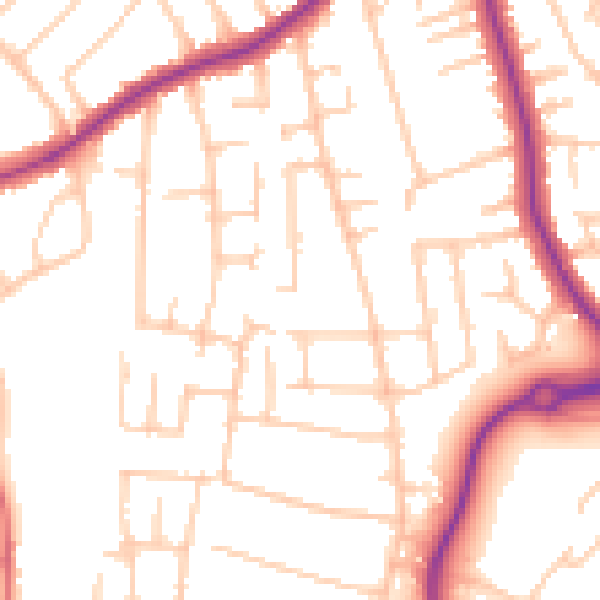
Daytime· 07:00 – 23:00
52.3dB

Night-time· 23:00 – 07:00
42.4dB