8 Altcar Drive, Wirral, CH46 0RJ
About 8 Altcar Drive
8 Altcar Drive is a detached house in Wirral (CH46 0RJ). It has a recorded floor area of 85 m² (around 915 sq ft). The latest certificate (January 2018) returns a B (score 82), comfortably above the UK average. The recommended improvements would push it to A (score 93).
On energy efficiency it sits in the top 10% of properties in this postcode. Today's modelled estimate of £280,000 is 25.8% above the 2018 sale price. On a £-per-square-foot basis, the last sale (£243/sq ft) was about 93.8% above the typical sold price in the postcode. Last sold in February 2018, so it's been off the market for around 8 years.
Know exactly what you're buying at 8 Altcar Drive
Before you offer, see what the listing won't tell you, the true value, the red flags and the full history.
Valuation
against the asking price
Risks
planning & flood
Sold prices
similar homes nearby
Trends
the local market
Energy performance
8 Altcar Drive ranks among the most efficient homes in the postcode for energy use.
EPC Rating
Planning history
8 Altcar Drive has no planning applications on record.
The full report still covers planning activity across the surrounding area.
Sales history & valuation
8 Altcar Drive valuation sits well clear of the typical sold price in this postcode.
£280,000
Modelled from EPC, postcode comparables.
£222,500
Recorded with HM Land Registry.
Sales timeline
1 February 2018Most recent
£222,500
Median price across the last 5 sales in CH46 0RJ: £190,000 (2023–2006).
Everything we know about 8 Altcar Drive, in one report
What it's really worth, what could be wrong, and the planning, sales and area data in full.
- Am I paying too much?
- Is something wrong with it?
- Is the agent's story true?
- Will it hold its value?

Versus other Altcar Drive homes
On price per m², 8 Altcar Drive stands well clear of the street.
Price per m²
£2,618
Street avg £1,956
Floor Area
85 m²
Street avg 91 m²
CO₂ Emissions
1.5 t/year
Street avg 4.5 t/year
Years Held
8 years
Street avg 10 years
Similar properties nearby
The neighbourhood at a glance
Reported crime in the wider district is trending notably upward year-on-year.
Crime
4/mo
Rising year-on-year across the wider district.
Nearest stop
0.2 km
Ely Avenue — bus stop.
Closest school
0.6 km
Moreton Christ Church CofE Primary School. 19 schools nearby.
Go deeper on the local area
The full report breaks down crime, transport links, schools and air quality in depth.
Road noise across the postcode
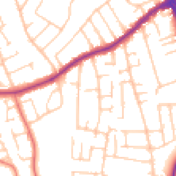
Daytime· 07:00 – 23:00
51.5dB

Night-time· 23:00 – 07:00
41.0dB