9 Tenby Drive, Wirral, CH46 0QA
About 9 Tenby Drive
9 Tenby Drive is a two-bedroom semi-detached house in Wirral (CH46 0QA). It has a recorded floor area of 75 m² (around 807 sq ft), construction records dating it to 1976-1982 and council tax band B. Tenure is freehold. The latest certificate (February 2026) shows a C (score 72). This certificate was lodged in the last six months, so the rating reflects current condition.
Untraded for 30 years, with the last transfer in April 1996. Only one transfer is on record with HM Land Registry, suggesting it has stayed in the same hands for a long time. At 75 m² it's 16.3% larger than the typical home in the postcode (65 m² median across 10 EPCs). On a £-per-square-foot basis, the last sale (£46/sq ft) was about 78.1% below the postcode norm.
Know exactly what you're buying at 9 Tenby Drive
Before you offer, see what the listing won't tell you, the true value, the red flags and the full history.
Valuation
against the asking price
Risks
planning & flood
Sold prices
similar homes nearby
Trends
the local market
What this property has
Inside
- Bedrooms2
- Bathrooms1
Outside
- GarageYes
Building
- TenureFreehold
Energy performance
The EPC has just been inspected, so the rating reflects current condition.
EPC Rating
Planning history
9 Tenby Drive has no planning applications on record.
The full report still covers planning activity across the surrounding area.
Sales history & valuation
Latest sale on 9 Tenby Drive was the lowest on Land Registry record across the postcode.
£37,000
Recorded with HM Land Registry.
Sales timeline
24 April 1996Most recent
£37,000
Median price across the last 5 sales in CH46 0QA: £200,000 (2024–2019).
Everything we know about 9 Tenby Drive, in one report
What it's really worth, what could be wrong, and the planning, sales and area data in full.
- Am I paying too much?
- Is something wrong with it?
- Is the agent's story true?
- Will it hold its value?

Versus other Tenby Drive homes
On price per m², 9 Tenby Drive runs well behind the street norm.
Price per m²
£493
Street avg £2,508
Floor Area
75 m²
Street avg 62 m²
Habitable Rooms
4 rooms
Street avg 3 rooms
CO₂ Emissions
2.3 t/year
Street avg 2.8 t/year
Similar properties nearby
1 Grampian Way, Moreton
CH46 0QE
1 Haig Avenue
CH46 0PP
1 Inglewood Avenue
CH46 0SB
1 Almond Place
CH46 0QD
1 Altcar Drive
CH46 0RJ
1 Briscoe Drive
CH46 0TN
1 Cobham Road
CH46 0QZ
1 Cranbourne Avenue, Moreton
CH46 0RH
The neighbourhood at a glance
Reported crime in the wider district is trending notably upward year-on-year.
Crime
4/mo
Rising year-on-year across the wider district.
Nearest stop
0.2 km
Wyvern Road — bus stop.
Closest school
0.4 km
Moreton Christ Church CofE Primary School. 24 schools nearby.
Go deeper on the local area
The full report breaks down crime, transport links, schools and air quality in depth.
Road noise across the postcode
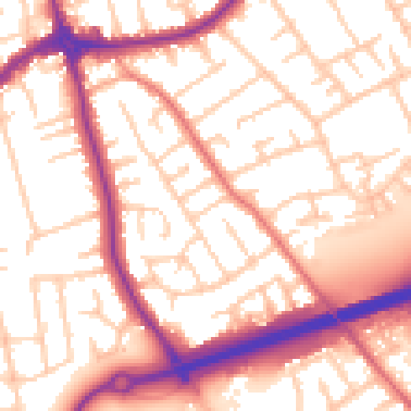
Daytime· 07:00 – 23:00
55.9dB

Night-time· 23:00 – 07:00
46.3dB