11 Chirk Way, Wirral, CH46 0PU
About 11 Chirk Way
11 Chirk Way is a property in Wirral (CH46 0PU). It has council tax band C.
Untraded for 24 years, with the last transfer in May 2002. One planning record on file: an extension approved in 2013. Past consents include an extension, a garage conversion and partial demolition, meaningful when judging how the property has evolved. Across 2001–2002, sale prices on this property compounded at 26.6% per year.
Know exactly what you're buying at 11 Chirk Way
Before you offer, see what the listing won't tell you, the true value, the red flags and the full history.
Already flagged here
Valuation
against the asking price
Risks
planning & flood
Sold prices
similar homes nearby
Trends
the local market
Energy performance
No EPC on record
This property doesn't have an Energy Performance Certificate yet. An EPC is required to sell or let — and unlocks our automated valuation.
Planning history
Planning history includes recorded demolition works, indicating a major rebuild phase at this address.
- Jan 2013Garage ConversionFullIn report
Extension: Single storey · Rear of property
Demolition of existing conservatory, erection of a single storey rear extension and conversion of garage into utility and study
ExtensionDemolition- Documents
- 4 docs on file
- Reference
- APP/12/01401
We flagged 1 thing worth checking at 11 Chirk Way
Independent checks surfaced things a buyer would want to understand before offering. The report explains each one in full, with the underlying data and what to ask.
- Recent ownership pattern worth a look
30-day money-back guarantee
Sales history & valuation
11 Chirk Way changed hands twice within eighteen months — unusual for the area.
£81,950
Growth on file: 26.6% per year over 1 year.
Sales timeline
9 May 2002Most recent
£81,950
+36.6%over 1 year12 January 2001
£60,000
Median price across the last 5 sales in CH46 0PU: £189,000 (2025–2015).
Everything we know about 11 Chirk Way, in one report
What it's really worth, what could be wrong, and the planning, sales and area data in full.
What we flagged
- Recent ownership pattern worth a look

Similar properties nearby
The neighbourhood at a glance
Reported crime in the wider district is trending notably upward year-on-year.
Crime
4/mo
Rising year-on-year across the wider district.
Nearest stop
0.2 km
Croft Drive — bus stop.
Closest school
0.4 km
Moreton Christ Church CofE Primary School. 25 schools nearby.
Go deeper on the local area
The full report breaks down crime, transport links, schools and air quality in depth.
Road noise across the postcode
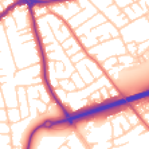
Daytime· 07:00 – 23:00
55.6dB

Night-time· 23:00 – 07:00
46.0dB