12 Chirk Way, Wirral, CH46 0PT
About 12 Chirk Way
12 Chirk Way is a three-bedroom semi-detached house in Wirral (CH46 0PT). It has a recorded floor area of 79 m² (around 855 sq ft), construction records dating it to 1967-1975 and council tax band C. The latest certificate (June 2009) shows a C (score 69), just inside the C band. The latest certificate is from June 2009, so improvements made since then won't be reflected.
It hasn't traded since July 2009, a hold of 17 years that's notably long for the area. That sale fell during the post-crash dip, which often skews comparisons against later neighbouring sales. Today's modelled estimate of £210,000 sits 62.8% above the 2009 sale of £129,000.
Know exactly what you're buying at 12 Chirk Way
Before you offer, see what the listing won't tell you, the true value, the red flags and the full history.
Valuation
against the asking price
Risks
planning & flood
Sold prices
similar homes nearby
Trends
the local market
What this property has
Inside
- Bedrooms3
Outside
- Private gardenYes
- GarageYes
Energy performance
12 Chirk Way's EPC is over a decade old — improvements since won't be reflected.
EPC Expired
This certificate is over 10 years old and is no longer valid.Expired 03 Jun 2019
EPC Rating
Planning history
12 Chirk Way has no planning applications on record.
The full report still covers planning activity across the surrounding area.
Sales history & valuation
The latest sale fell during the post-2008 dip, often a low-water mark in price comparisons.
£210,000
Modelled from EPC, postcode comparables.
£129,000
Recorded with HM Land Registry.
Sales timeline
30 July 2009Most recent
£129,000
Median price across the last 5 sales in CH46 0PT: £135,000 (2017–2013).
Everything we know about 12 Chirk Way, in one report
What it's really worth, what could be wrong, and the planning, sales and area data in full.
- Am I paying too much?
- Is something wrong with it?
- Is the agent's story true?
- Will it hold its value?

Versus other Chirk Way homes
12 Chirk Way is notably below the street on price per m².
Price per m²
£1,625
Street avg £1,941
Floor Area
79 m²
Street avg 80 m²
Habitable Rooms
5 rooms
Street avg 5 rooms
CO₂ Emissions
3.1 t/year
Street avg 2.7 t/year
Similar properties nearby
1 Almond Place
CH46 0QD
1 Briscoe Drive
CH46 0TN
1 Cranbourne Avenue, Moreton
CH46 0RH
1 Altcar Drive
CH46 0RJ
1 Cobham Road
CH46 0QZ
1 Kingston Close
CH46 0TR
1 Levens Hey
CH46 0UG
1 Inglewood Avenue
CH46 0SB
The neighbourhood at a glance
Reported crime in the wider district is trending notably upward year-on-year.
Crime
4/mo
Rising year-on-year across the wider district.
Nearest stop
0.2 km
Seaforth Drive — bus stop.
Closest school
0.3 km
Moreton Christ Church CofE Primary School. 25 schools nearby.
Go deeper on the local area
The full report breaks down crime, transport links, schools and air quality in depth.
Road noise across the postcode
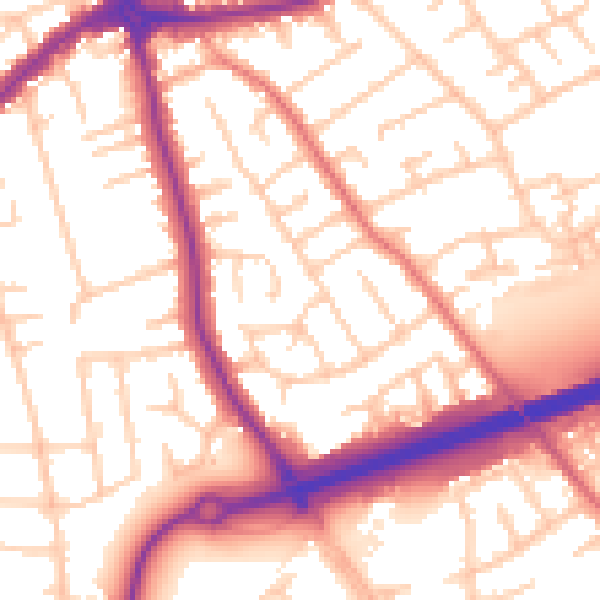
Daytime· 07:00 – 23:00
55.5dB

Night-time· 23:00 – 07:00
45.9dB